


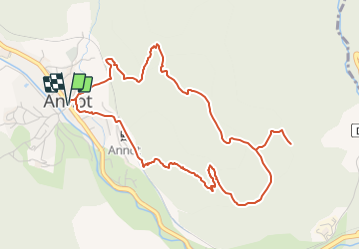

6.2 km | 11.3 km-effort


Tous les sentiers balisés d’Europe GUIDE+


FREE GPS app for hiking
 SityTrail
IGN / Geographical institutes
SityTrail World
The world is yours!
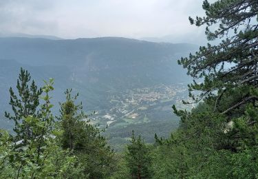
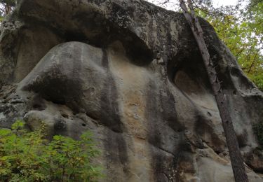
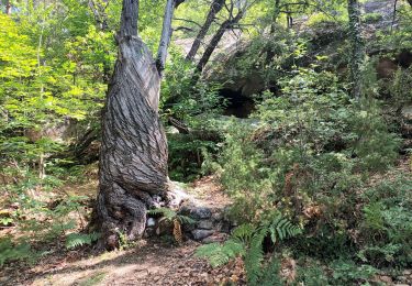
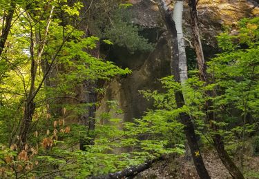
Trail On foot of 5.9 km to be discovered at Provence-Alpes-Côte d'Azur, Alpes-de-Haute-Provence, Annot. This trail is proposed by SityTrail - itinéraires balisés pédestres.
Trail created by Département des Alpes-de-Haute-Provence.
Website: https://www.rando-alpes-haute-provence.fr/randonnee-pedestre/gres-dannot/


Walking

Walking
Walking

Walking

Walking

Walking
Walking
Walking
Walking