


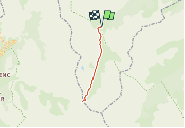

16.2 km | 35 km-effort

Tous les sentiers balisés d’Europe GUIDE+


FREE GPS app for hiking
 SityTrail
IGN / Geographical institutes
SityTrail World
The world is yours!
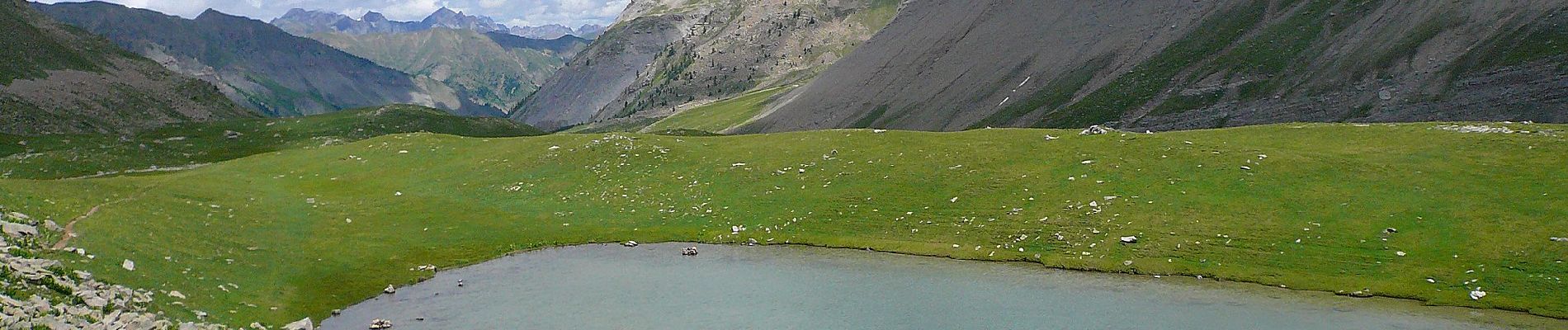
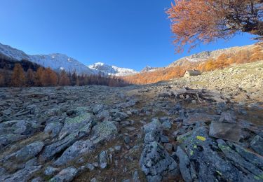
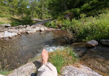
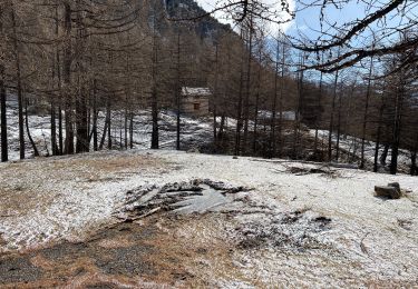
Trail On foot of 9.8 km to be discovered at Provence-Alpes-Côte d'Azur, Maritime Alps, Saint-Dalmas-le-Selvage. This trail is proposed by SityTrail - itinéraires balisés pédestres.
Trail created by Département des Alpes-Maritimes.


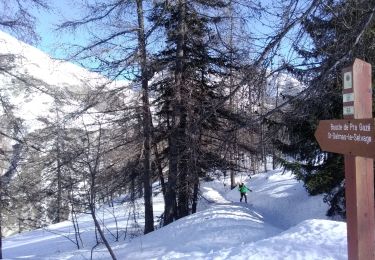
Touring skiing
Snowshoes
Walking
Walking
Walking

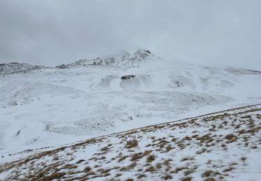
Snowshoes
Snowshoes
Walking
Snowshoes