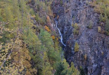
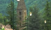
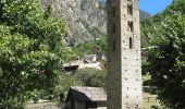
![](/images/other/stat-length.png)
![Trail On foot Isola - Boucle de Louch - Photo](https://media.geolcdn.com/t/1900/400/3b66ff9e-06f4-4751-843b-3367523d8fc7.jpeg&format=pjpeg&maxdim=2)
Boucle de Louch
SityTrail - itinéraires balisés pédestres
Tous les sentiers balisés d’Europe GUIDE+
![Length](/images/other/stat-length.png)
Length
4.6 km
![Max alt](https://static1.geolcdn.com/siteimages/upload/files/1508320355ic_sort_altitude_max_24dp.png)
Max alt
1214 m
![Uphill gradient](https://static1.geolcdn.com/siteimages/upload/files/1508320355ic_sort_den_pos_24dp.png)
Uphill gradient
351 m
![Km-Effort](/images/other/stat-length.png)
Km-Effort
9.3 km
![Min alt](https://static1.geolcdn.com/siteimages/upload/files/1508320355ic_sort_altitude_min_24dp.png)
Min alt
856 m
![Downhill gradient](https://static1.geolcdn.com/siteimages/upload/files/1508320355ic_sort_den_neg_24dp.png)
Downhill gradient
351 m
![Boucle](https://static1.geolcdn.com/siteimages/upload/files/16400158638029165_repeat_loop_refresh_sync_direction_icon.png)
Boucle
Yes
Signpost
Creation date :
2022-02-15 18:47:27.362
Updated on :
2022-03-02 21:44:26.04
![On foot](https://static1.geolcdn.com/sitytour/trail-icons/100.png)
2h06
Difficulty : Easy
![Scan this QR Code to open this trail in the SityTrail application](https://capi.geolives.com/qq0zvz2zws4bq2lad0pu/sitytour/trails/3123907/qr.png?size=200)
FREE GPS app for hiking
About
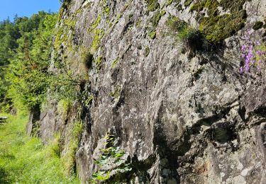
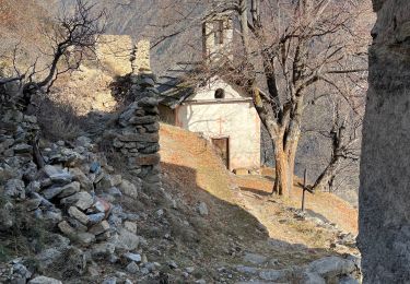
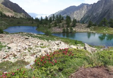
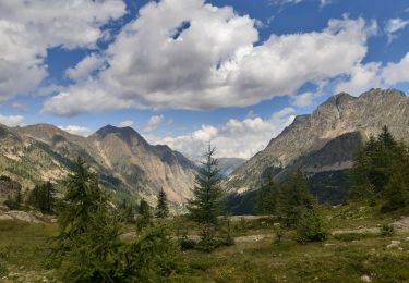
Trail On foot of 4.6 km to be discovered at Provence-Alpes-Côte d'Azur, Maritime Alps, Isola. This trail is proposed by SityTrail - itinéraires balisés pédestres.
Description
Randonnée pédestre - Haut pays : Au départ d’Isola-village (870 mètres)
Website: https://randoxygene.departement06.fr/haute-tinee-2/boucle-de-louch-9107.html
Positioning
Country:
France
Region :
Provence-Alpes-Côte d'Azur
Department/Province :
Maritime Alps
Municipality :
Isola
Location:
Unknown
Start:(Dec)
Start:(UTM)
344258 ; 4894297 (32T) N.
Comments
Trails nearby
![Trail Walking Isola - Châtaigneraie ISOLA - Photo](https://media.geolcdn.com/t/375/260/ext.jpg?maxdim=2&url=https%3A%2F%2Fservices.sitytrail.com%2FGeolivesWS%2FDownloadMedia.ashx%3FTrailID%3D470503%26Media%3D20150910120215.jpg)
![Walking Walking](https://static1.geolcdn.com/sitytour/trail-icons/101.png)
Châtaigneraie ISOLA
Walking
Very easy
(1)
Isola,
Provence-Alpes-Côte d'Azur,
Maritime Alps,
France
![](/images/other/stat-length.png)
4.4 km | 7.1 km-effort
2h 9min
![](https://static1.geolcdn.com/siteimages/upload/files/16400158638029165_repeat_loop_refresh_sync_direction_icon.png)
Yes
![Trail Walking Isola - Fontaine St Laurent par Collet de Léchio et Cascade de Louch Isola Village - Photo](https://media.geolcdn.com/t/375/260/db3d6713-0c9e-4c65-af5d-a138b43add5e.jpg&format=jpg&maxdim=2)
![Walking Walking](https://static1.geolcdn.com/sitytour/trail-icons/101.png)
Fontaine St Laurent par Collet de Léchio et Cascade de Louch Isola Village
Walking
Easy
Isola,
Provence-Alpes-Côte d'Azur,
Maritime Alps,
France
![](/images/other/stat-length.png)
9.5 km | 16.3 km-effort
4h 44min
![](https://static1.geolcdn.com/siteimages/upload/files/16400158638029165_repeat_loop_refresh_sync_direction_icon.png)
Yes
![Trail Walking Roure - Hameau de Valabres - Photo](https://media.geolcdn.com/t/375/260/56a3b635-c267-4747-9bb0-6892756b86fd.jpg&format=jpg&maxdim=2)
![Walking Walking](https://static1.geolcdn.com/sitytour/trail-icons/101.png)
Hameau de Valabres
Walking
Medium
Roure,
Provence-Alpes-Côte d'Azur,
Maritime Alps,
France
![](/images/other/stat-length.png)
12.5 km | 27 km-effort
4h 16min
![](https://static1.geolcdn.com/siteimages/upload/files/16400158638029165_repeat_loop_refresh_sync_direction_icon.png)
Yes
![Trail Walking Isola - Lacs du Lausfer / pas de Ste Anne - Photo](https://media.geolcdn.com/t/375/260/c67485b0-6dd2-402f-93b8-4ef26648110e.jpg&format=jpg&maxdim=2)
![Walking Walking](https://static1.geolcdn.com/sitytour/trail-icons/101.png)
Lacs du Lausfer / pas de Ste Anne
Walking
Easy
Isola,
Provence-Alpes-Côte d'Azur,
Maritime Alps,
France
![](/images/other/stat-length.png)
9.7 km | 20 km-effort
3h 9min
![](https://static1.geolcdn.com/siteimages/upload/files/16400158638029165_repeat_loop_refresh_sync_direction_icon.png)
Yes
![Trail Walking Vinadio - St Anna di Vinadio - Photo](https://media.geolcdn.com/t/375/260/7e16e9c5-3bc6-4d82-9bad-802e8da6a660.jpg&format=jpg&maxdim=2)
![Walking Walking](https://static1.geolcdn.com/sitytour/trail-icons/101.png)
![Trail Walking Isola - Col de la Guercha - Photo](https://media.geolcdn.com/t/375/260/8bbb67ab-24b8-4128-a1e0-12ad3d57f0e4.jpg&format=jpg&maxdim=2)
![Walking Walking](https://static1.geolcdn.com/sitytour/trail-icons/101.png)
Col de la Guercha
Walking
Very difficult
Isola,
Provence-Alpes-Côte d'Azur,
Maritime Alps,
France
![](/images/other/stat-length.png)
11.3 km | 27 km-effort
5h 4min
![](https://static1.geolcdn.com/siteimages/upload/files/16400158638029165_repeat_loop_refresh_sync_direction_icon.png)
Yes
![Trail Walking Vinadio - giro di lagi (les lacs de Lausfer) - Photo](https://media.geolcdn.com/t/375/260/6bd004cb-7dff-492b-8832-c67ceaeaec92.jpg&format=jpg&maxdim=2)
![Walking Walking](https://static1.geolcdn.com/sitytour/trail-icons/101.png)
giro di lagi (les lacs de Lausfer)
Walking
Medium
Vinadio,
Piemont,
Cuneo,
Italy
![](/images/other/stat-length.png)
9.1 km | 15.9 km-effort
4h 26min
![](https://static1.geolcdn.com/siteimages/upload/files/16400158638029165_repeat_loop_refresh_sync_direction_icon.png)
Yes
![Trail Walking Isola - Chapelle Ste Eurosie - Photo](https://media.geolcdn.com/t/375/260/429de931-aa85-4bc8-89fe-351f003b4169.jpg&format=jpg&maxdim=2)
![Walking Walking](https://static1.geolcdn.com/sitytour/trail-icons/101.png)
Chapelle Ste Eurosie
Walking
Medium
Isola,
Provence-Alpes-Côte d'Azur,
Maritime Alps,
France
![](/images/other/stat-length.png)
6.9 km | 17.6 km-effort
4h 44min
![](https://static1.geolcdn.com/siteimages/upload/files/16400158638029165_repeat_loop_refresh_sync_direction_icon.png)
Yes
![Trail Walking Vinadio - les lacs de lausfer - Photo](https://media.geolcdn.com/t/375/260/c0b410b7-bf1c-47f3-9441-cc06a51043d6.jpg&format=jpg&maxdim=2)
![Walking Walking](https://static1.geolcdn.com/sitytour/trail-icons/101.png)