


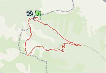

7.8 km | 16.3 km-effort

Tous les sentiers balisés d’Europe GUIDE+


FREE GPS app for hiking
 SityTrail
IGN / Geographical institutes
SityTrail World
The world is yours!
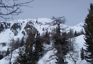
Trail On foot of 9.9 km to be discovered at Provence-Alpes-Côte d'Azur, Maritime Alps, Saint-Martin-Vésubie. This trail is proposed by SityTrail - itinéraires balisés pédestres.
Randonnée pédestre - Haut pays : départ du Boréon, parking de Salèse (1 670 mètres)
Website: https://randoxygene.departement06.fr/haute-vesubie/circuit-des-adus-9204.html


Walking

Walking

On foot

On foot

Walking

Walking
Walking
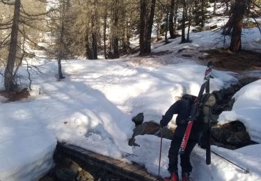
Touring skiing
Touring skiing