


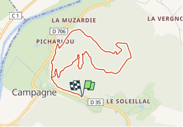


6.2 km | 8.6 km-effort

Tous les sentiers balisés d’Europe GUIDE+


FREE GPS app for hiking
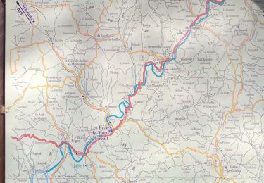
 SityTrail
IGN / Geographical institutes
SityTrail World
The world is yours!
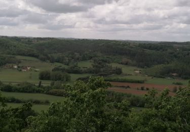
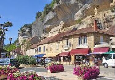
Trail On foot of 5.3 km to be discovered at New Aquitaine, Dordogne, Campagne. This trail is proposed by SityTrail - itinéraires balisés pédestres.
Trail created by Dordogne.


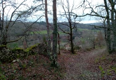
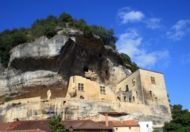
Walking
Walking
Walking
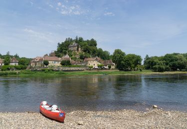
Canoe - kayak
Walking
Walking
Walking
Walking

Walking