


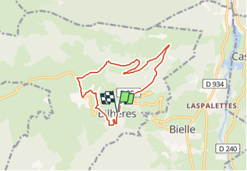

12.2 km | 25 km-effort

Tous les sentiers balisés d’Europe GUIDE+


FREE GPS app for hiking
 SityTrail
IGN / Geographical institutes
SityTrail World
The world is yours!
Trail On foot of 7.2 km to be discovered at New Aquitaine, Pyrénées-Atlantiques, Bilhères. This trail is proposed by SityTrail - itinéraires balisés pédestres.
Trail created by Communauté de Communes de la Vallée d’Ossau.
Website: https://www.valleedossau-tourisme.com/randonnees/pedestre/circuits-a-la-journee/
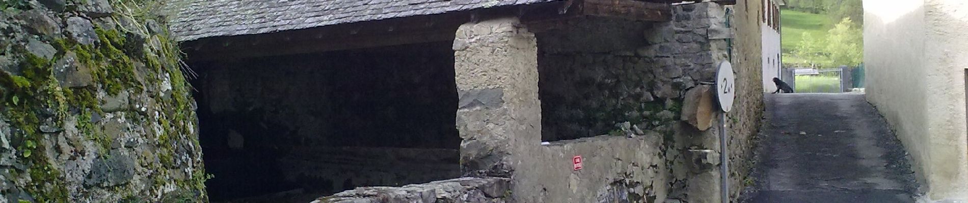
 - Photo 1")
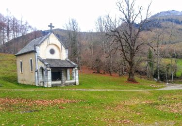
 - Photo 2")
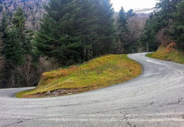
 - Photo 3")
 - Photo 4")
 - Photo 5")
 - Photo 6")
 - Photo 7")
 - Photo 8")
 - Photo 9")
 - Photo 10")

Walking

Walking

Walking

On foot

On foot
On foot

On foot

On foot
On foot