


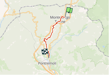

21 km | 26 km-effort


Tous les sentiers balisés d’Europe GUIDE+


FREE GPS app for hiking
 SityTrail
IGN / Geographical institutes
SityTrail World
The world is yours!
Trail On foot of 13.1 km to be discovered at Tuscany, Massa-Carrara, Pontremoli. This trail is proposed by SityTrail - itinéraires balisés pédestres.
Trail created by AVFAL.
Route from Passo del Righetto to SP38 surveyed 26.12.19 by Damiano. Route from SP38 to Mignegno surveyed 20.1.20.
Symbol: yellow and blue stripe
Website: http://francigena-international.org/it_IT/2017/06/29/col-de-la-cisa-pontremoli-variante-de-montelungo-mansiones-de-sigeric/


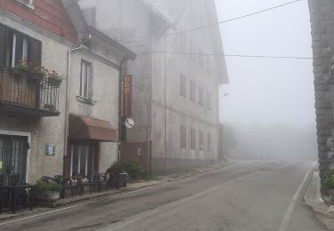
Walking
On foot

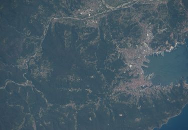
On foot
On foot

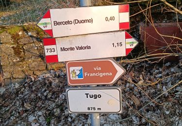
On foot
On foot