


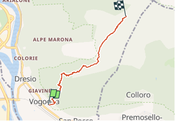

4.5 km | 12.7 km-effort


Tous les sentiers balisés d’Europe GUIDE+


FREE GPS app for hiking
 SityTrail
IGN / Geographical institutes
SityTrail World
The world is yours!
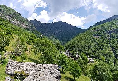
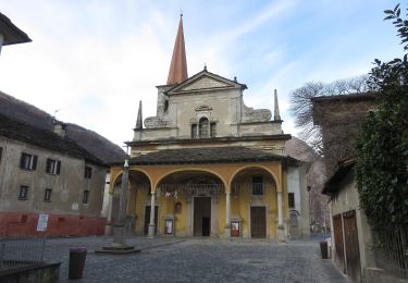
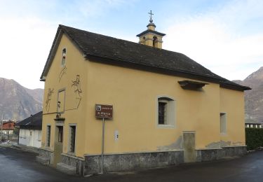
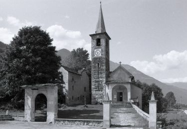
Trail On foot of 4.9 km to be discovered at Piemont, Verbano-Cusio-Ossola, Vogogna. This trail is proposed by SityTrail - itinéraires balisés pédestres.
Relation with photos (click on → Web site) mantained by Danilo (danbag)
Symbol: some old white red flags
Website: http://www.estmonterosa.it/catasto-percorsi-vco-piana-del-toce-settore-a.html


On foot
On foot
On foot
On foot
On foot

On foot

Walking
On foot
On foot