


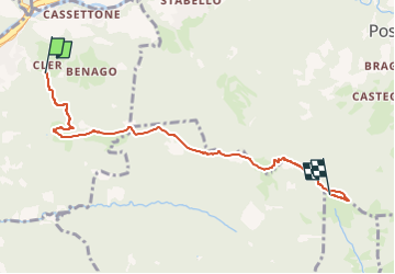

18 km | 29 km-effort


Tous les sentiers balisés d’Europe GUIDE+


FREE GPS app for hiking
 SityTrail
IGN / Geographical institutes
SityTrail World
The world is yours!
Trail On foot of 5.7 km to be discovered at Lombardy, Bergamo, Sedrina. This trail is proposed by SityTrail - itinéraires balisés pédestres.
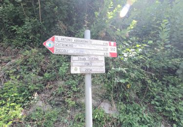
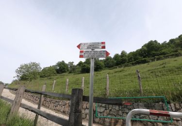
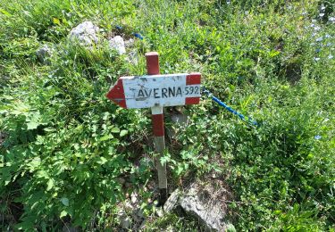
Il segnavia 507 è stato assegnato nel 2016 anche al tratto che dal Canto Basso scende fino a Ripa di Poscante.
Website: http://geoportale.caibergamo.it/sentiero/507
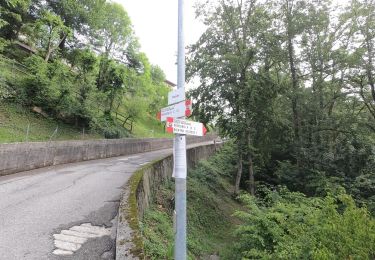
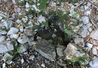
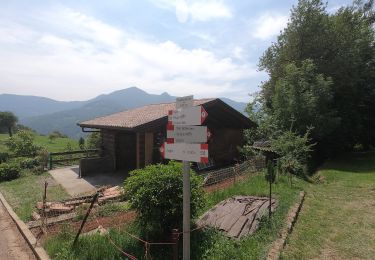
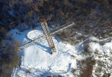
 - Ripa (Poscante) - Photo 1")
 - Ripa (Poscante) - Photo 2")
 - Ripa (Poscante) - Photo 3")
On foot
On foot
On foot
On foot
On foot
On foot
On foot