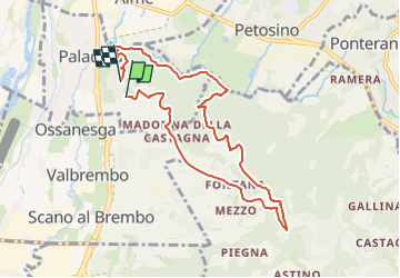

4.8 km | 7.4 km-effort

Tous les sentiers balisés d’Europe GUIDE+


FREE GPS app for hiking
 SityTrail
IGN / Geographical institutes
SityTrail World
The world is yours!
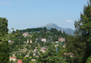
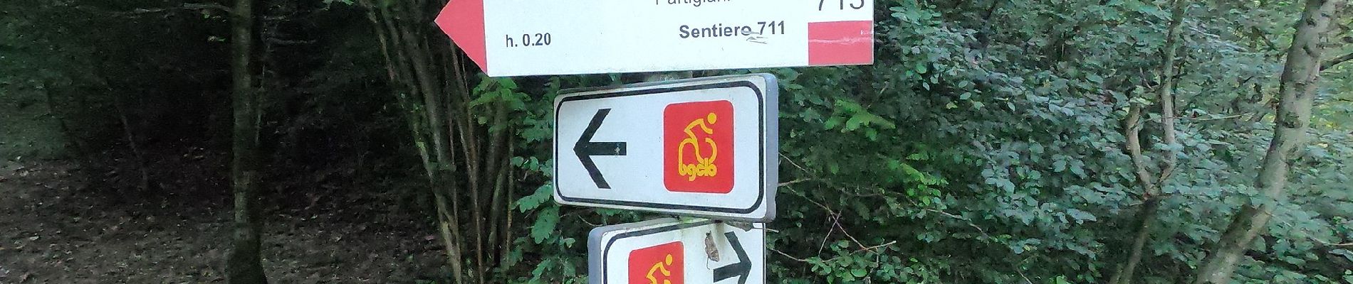
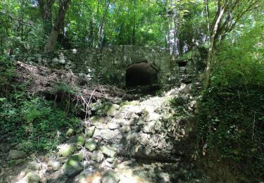
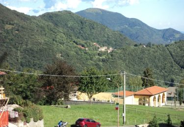
Trail On foot of 8.4 km to be discovered at Lombardy, Bergamo, Paladina. This trail is proposed by SityTrail - itinéraires balisés pédestres.
Il sentiero Ilaria è un percorso collinare dedicato ad Ilaria Rota dal padre Diego per ricordarla attraverso quei luoghi dove ella passeggiava serenamente.
Website: https://www.cristianriva.it/sentiero-ilaria/


On foot
On foot