


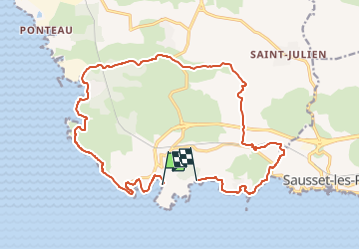

21 km | 24 km-effort


Tous les sentiers balisés d’Europe GUIDE+


FREE GPS app for hiking
 SityTrail
IGN / Geographical institutes
SityTrail World
The world is yours!
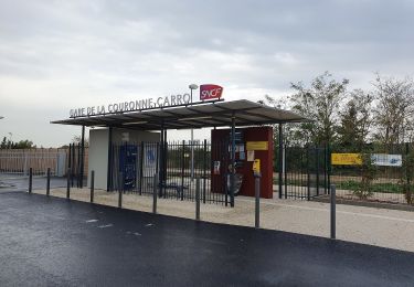
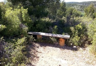
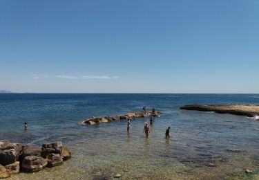
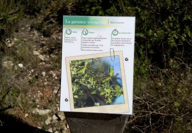
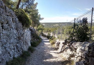
Trail On foot of 20 km to be discovered at Provence-Alpes-Côte d'Azur, Bouches-du-Rhône, Martigues. This trail is proposed by SityTrail - itinéraires balisés pédestres.
Trail created by Département des Bouches-du-Rhône.
Website: https://www.myprovence.fr/circuits/randonnees/martigues/81050-le-cap-couronne


Walking
Walking
On foot
On foot
On foot

On foot
On foot
On foot
On foot