![](/images/other/stat-length.png)
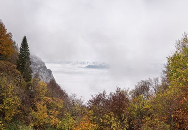
![Trail On foot Malcesine - Sentiero delle Creste - Photo](https://media.geolcdn.com/t/1900/400/96362f89-dd5f-48cd-afb7-948e16a28761.jpeg&format=pjpeg&maxdim=2)
Sentiero delle Creste
SityTrail - itinéraires balisés pédestres
Tous les sentiers balisés d’Europe GUIDE+
![Length](/images/other/stat-length.png)
![Max alt](https://static1.geolcdn.com/siteimages/upload/files/1508320355ic_sort_altitude_max_24dp.png)
![Uphill gradient](https://static1.geolcdn.com/siteimages/upload/files/1508320355ic_sort_den_pos_24dp.png)
![Km-Effort](/images/other/stat-length.png)
![Min alt](https://static1.geolcdn.com/siteimages/upload/files/1508320355ic_sort_altitude_min_24dp.png)
![Downhill gradient](https://static1.geolcdn.com/siteimages/upload/files/1508320355ic_sort_den_neg_24dp.png)
![Boucle](https://static1.geolcdn.com/siteimages/upload/files/16400158638029165_repeat_loop_refresh_sync_direction_icon.png)
![On foot](https://static1.geolcdn.com/sitytour/trail-icons/100.png)
5h16
Difficulty : Medium
![Scan this QR Code to open this trail in the SityTrail application](https://capi.geolives.com/qq0zvz2zws4bq2lad0pu/sitytour/trails/3122063/qr.png?size=200)
FREE GPS app for hiking
About
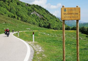
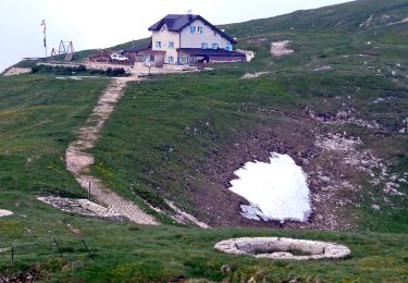
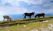
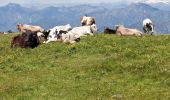
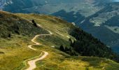
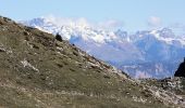
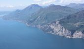
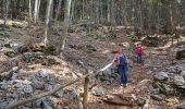
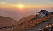
Trail On foot of 11.5 km to be discovered at Veneto, Verona, Malcesine. This trail is proposed by SityTrail - itinéraires balisés pédestres.
Description
Trail created by Club Alpino Italiano Sezione Cesare Battisti di Verona.
relation mantained by Club Alpino Italiano Sezione Cesare Battisti di Verona, before making changes contact the CAI structure
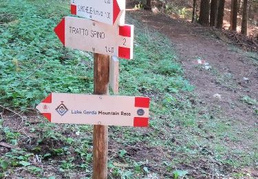
Symbol: 651 on white red flags
Website: https://www.cesarebattisti.org/
Positioning
Comments
Trails nearby
![Trail On foot Brentonico - IT-O654 - Photo](https://media.geolcdn.com/t/375/260/471fd94c-bd42-437a-9cd8-0693f7690595.jpeg&format=jpg&maxdim=2)
![On foot On foot](https://static1.geolcdn.com/sitytour/trail-icons/100.png)
On foot
![](/images/other/stat-length.png)
![](https://static1.geolcdn.com/siteimages/upload/files/16400158638029165_repeat_loop_refresh_sync_direction_icon.png)
![Trail On foot Avio - IT-O652 - Photo](https://media.geolcdn.com/t/375/260/5e7c333d-5ccf-463b-9f3f-4867284d4645.jpeg&format=jpg&maxdim=2)
![On foot On foot](https://static1.geolcdn.com/sitytour/trail-icons/100.png)
On foot
![](/images/other/stat-length.png)
![](https://static1.geolcdn.com/siteimages/upload/files/16400158638029165_repeat_loop_refresh_sync_direction_icon.png)
![Trail On foot Brentonico - IT-O651 - Photo](https://media.geolcdn.com/t/375/260/6911bd7a-2777-48f7-ba85-a30fc036b9ed.jpeg&format=jpg&maxdim=2)
![On foot On foot](https://static1.geolcdn.com/sitytour/trail-icons/100.png)
On foot
![](/images/other/stat-length.png)
![](https://static1.geolcdn.com/siteimages/upload/files/16400158638029165_repeat_loop_refresh_sync_direction_icon.png)
![Trail On foot Malcesine - Sentiero dei Contrabbandieri - Photo](https://media.geolcdn.com/t/375/260/0e6bbf8c-55c7-41ad-9c5c-f40442f04643.jpeg&format=jpg&maxdim=2)
![On foot On foot](https://static1.geolcdn.com/sitytour/trail-icons/100.png)
On foot
![](/images/other/stat-length.png)
![](https://static1.geolcdn.com/siteimages/upload/files/16400158638029165_repeat_loop_refresh_sync_direction_icon.png)
![Trail On foot Malcesine - Navene - Bocca di Navene inn. sent. 651 - Photo](https://media.geolcdn.com/t/375/260/5fda416f-890b-4937-a005-cc5453fc5dd8.jpeg&format=jpg&maxdim=2)
![On foot On foot](https://static1.geolcdn.com/sitytour/trail-icons/100.png)
On foot
![](/images/other/stat-length.png)
![](https://static1.geolcdn.com/siteimages/upload/files/16400158638029165_repeat_loop_refresh_sync_direction_icon.png)
![Trail On foot Malcesine - Malcesine - Navene - Photo](https://media.geolcdn.com/t/375/260/fcdc4ed0-6658-40fd-aa65-aa7634ccbe7b.jpeg&format=jpg&maxdim=2)
![On foot On foot](https://static1.geolcdn.com/sitytour/trail-icons/100.png)
On foot
![](/images/other/stat-length.png)
![](https://static1.geolcdn.com/siteimages/upload/files/16400158638029165_repeat_loop_refresh_sync_direction_icon.png)
![Trail On foot Malcesine - San Michele - Tratto Spino - Photo](https://media.geolcdn.com/t/375/260/2b9498f9-6de9-4966-a9d3-1462bea31fd2.jpeg&format=jpg&maxdim=2)
![On foot On foot](https://static1.geolcdn.com/sitytour/trail-icons/100.png)
On foot
![](/images/other/stat-length.png)
![](https://static1.geolcdn.com/siteimages/upload/files/16400158638029165_repeat_loop_refresh_sync_direction_icon.png)
![Trail On foot Malcesine - Faigolo - Prai di Malcesine - Photo](https://media.geolcdn.com/t/375/260/2b9498f9-6de9-4966-a9d3-1462bea31fd2.jpeg&format=jpg&maxdim=2)
![On foot On foot](https://static1.geolcdn.com/sitytour/trail-icons/100.png)
On foot
![](/images/other/stat-length.png)
![](https://static1.geolcdn.com/siteimages/upload/files/16400158638029165_repeat_loop_refresh_sync_direction_icon.png)
![Trail On foot Brentonico - IT-O622 - Photo](https://media.geolcdn.com/t/375/260/828c08fb-f486-4383-81f2-b81a7a546dcd.jpeg&format=jpg&maxdim=2)
![On foot On foot](https://static1.geolcdn.com/sitytour/trail-icons/100.png)
On foot
![](/images/other/stat-length.png)
![](https://static1.geolcdn.com/siteimages/upload/files/16400158638029165_repeat_loop_refresh_sync_direction_icon.png)