


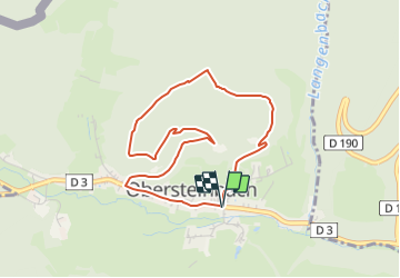

15.6 km | 25 km-effort

Tous les sentiers balisés d’Europe GUIDE+


FREE GPS app for hiking
 SityTrail
IGN / Geographical institutes
SityTrail World
The world is yours!
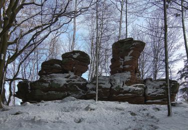
Trail On foot of 3.8 km to be discovered at Grand Est, Bas-Rhin, Obersteinbach. This trail is proposed by SityTrail - itinéraires balisés pédestres.
Trail created by Club Vosgien.
Website: https://www.wanderparadies-wasgau.de/wanderung-obersteinbach-petit-arnsberg.php


Walking
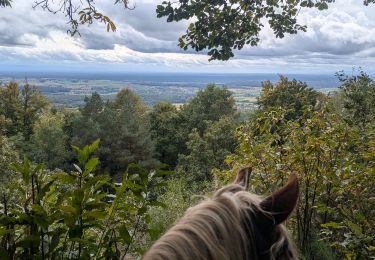
Horseback riding

Horseback riding

Horseback riding
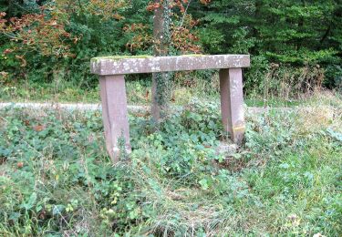
On foot

On foot
On foot

On foot