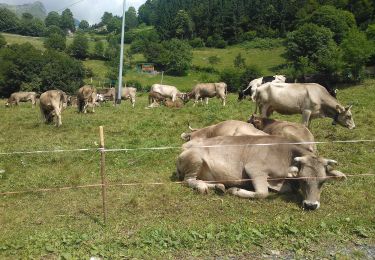
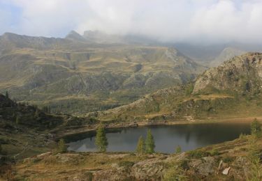
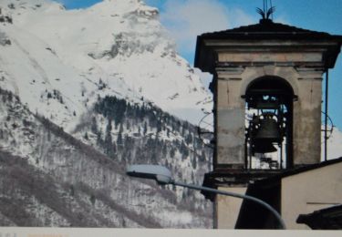
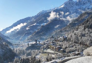
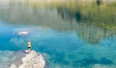
Trail On foot Valgoglio - Valgoglio - Rifugio Laghi Gemelli - Photo

Valgoglio - Rifugio Laghi Gemelli

Tous les sentiers balisés d’Europe GUIDE+

© OpenStreetMap contributors
Length
Length
11.2 km
Max alt
Max alt
2305 m
Uphill gradient
Uphill gradient
1266 m
Km-Effort
Km-Effort  
25 km
Min alt
Min alt
1058 m
Downhill gradient
Downhill gradient
383 m
Boucle
Boucle
No
Signpost
Signpost
Creation date :
2022-02-15 16:29:39.138
Updated on :
2022-03-01 18:32:59.732

(0 Reviews)

On foot
On foot
5h42
Difficulty : Medium

Scan this QR Code to open this trail in the SityTrail application

FREE GPS app for hiking

Logo SityTrail SityTrail
IGN / Geographical institutes

Download SityTrail from the App Store Download SityTrail from Google Play

Logo SityTrail SityTrail World

The world is yours!

Download SityTrail from the App Store Download SityTrail from Google Play Download SityTrail on Huawei AppGallery

About

Trail On foot of 11.2 km to be discovered at Lombardy, Bergamo, Valgoglio. This trail is proposed by SityTrail - itinéraires balisés pédestres.

Description

Dalla centrale ENEL di Valgoglio (centrale di Aviasco - 960 m - posta al termine della strada che proviene dal centro abitato), si sale lungo il torrente in direzione nord-ovest per circa 10', lo si attraversa a quota 1044 m e si piega in direzione sud rimontando il fitto bosco fino ad entrare nella Val Sanguigno. Si sale ora con alcuni tornanti costeggiando varie cascate per

Website: http://geoportale.caibergamo.it/it/sentiero/232

Elevation profile

Photos

Positioning

Country:
Italy
Region :
Lombardy
Department/Province :
Bergamo
Municipality :
Valgoglio
Location:
Unknown
Start:(UTM)
569179 ; 5092082 (32T) N.

Trails nearby

Trail On foot Valgoglio - IT-228 - Photo
On foot
GUIDE+

On foot

Easy
Valgoglio, Lombardy, Bergamo, Italy
5.1 km | 14.9 km-effort
3h 23min
No
Trail On foot Valgoglio - IT-268 - Photo
On foot
GUIDE+

On foot

Easy
Valgoglio, Lombardy, Bergamo, Italy
6.4 km | 10.2 km-effort
2h 19min
No
Trail On foot Carona - (SI D19S) Rifugio Fratelli Calvi - Rifugio Antonio Baroni al Brunone - Photo
On foot
GUIDE+

On foot

Medium
Carona, Lombardy, Bergamo, Italy
10.5 km | 23 km-effort
5h 8min
No
Trail On foot Carona - Sentiero delle Orobie Orientali - Tappa 4 - Photo
On foot
GUIDE+

On foot

Medium
Carona, Lombardy, Bergamo, Italy
10.5 km | 23 km-effort
5h 7min
No
Trail On foot Valbondione - 227: Fiumenero - Rifugio Baroni al Brunone - Photo
On foot
GUIDE+

On foot

Medium
Valbondione, Lombardy, Bergamo, Italy
7 km | 21 km-effort
4h 52min
No
Trail On foot Ardesio - Sentiero delle Orobie Orientali - Tappa 1 - Photo
On foot
GUIDE+

On foot

Medium
Ardesio, Lombardy, Bergamo, Italy
12.4 km | 23 km-effort
5h 12min
No
Trail On foot Carona - IT-233 - Photo
On foot
GUIDE+

On foot

Easy
Carona, Lombardy, Bergamo, Italy
7.2 km | 11.6 km-effort
2h 38min
No
Trail On foot Branzi - Rifugio Baita Cernello - Passo d'Aviasco - Photo
On foot
GUIDE+

On foot

Easy
Branzi, Lombardy, Bergamo, Italy
4.3 km | 6.4 km-effort
1h 27min
No
Trail On foot Ardesio - IT-265 - Photo
On foot
GUIDE+

On foot

Easy
Ardesio, Lombardy, Bergamo, Italy
5 km | 12.5 km-effort
2h 50min
No


Close
My subscriptions