Trail On foot Spinazzola - (SI R11) Spinazzola - Venosa - Photo

(SI R11) Spinazzola - Venosa

Tous les sentiers balisés d’Europe PRO

© OpenStreetMap contributors
Length
Length
29 km
Max alt
Max alt
445 m
Uphill gradient
Uphill gradient
381 m
Km-Effort
Km-Effort  
35 km
Min alt
Min alt
364 m
Downhill gradient
Downhill gradient
389 m
Boucle
Boucle
No
Signpost
Signpost
Creation date :
2022-02-15 16:15:05.528
Updated on :
2022-03-01 17:31:05.219

(0 Reviews)

On foot
On foot
7h51
Difficulty : Difficult

Scan this QR Code to open this trail in the SityTrail application

FREE GPS app for hiking

Logo SityTrail SityTrail

IGN / Geographical institutes

Download SityTrail from the App Store Download SityTrail from Google Play

Logo SityTrail SityTrail World

The world is yours!

Download SityTrail from the App Store Download SityTrail from Google Play Download SityTrail on Huawei AppGallery

About

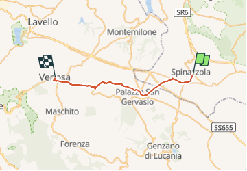
Trail On foot of 29 km to be discovered at Apulia, Barletta-Andria-Trani, Spinazzola. This trail is proposed by SityTrail - itinéraires balisés pédestres.

Description

Sentiero Italia CAI 2019


Website: https://mappasentieroitalia.cai.it/#/main/details/1752
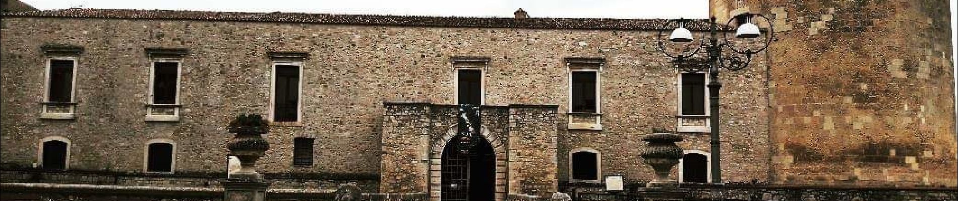
Photos

Positioning

Country:
Italy
Region :
Apulia
Department/Province :
Barletta-Andria-Trani
Municipality :
Spinazzola
Location:
Unknown
Start:(UTM)
591902 ; 4535358 (33T) N.

Trails nearby

Trail On foot Andria - (SI R10) Castel del Monte (Andria) - Spinazzola - Photo
On foot
PRO

On foot

Medium
Andria, Apulia, Barletta-Andria-Trani, Italy
26 km | 31 km-effort
6h 59min
No
Trail Car Andria - j34 - Photo
Car
DUPORT16

Car

Very easy
Andria, Apulia, Barletta-Andria-Trani, Italy
113 km | 124 km-effort
1h 50min
No


Close
My subscriptions