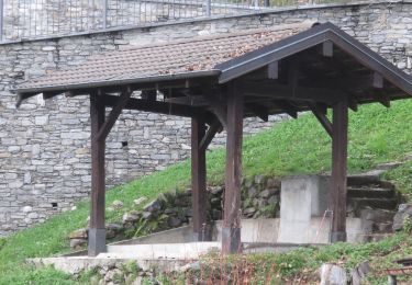
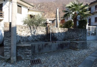
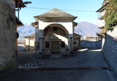
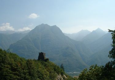
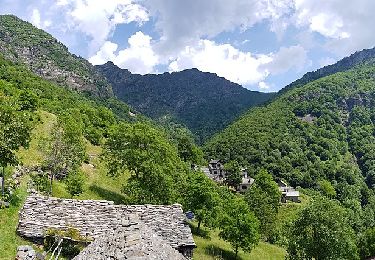
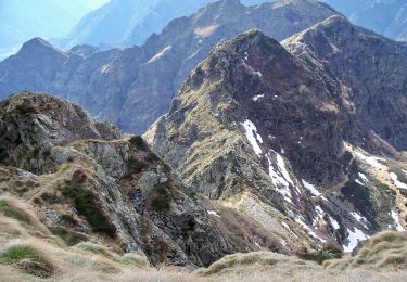
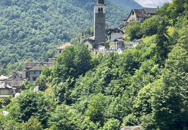
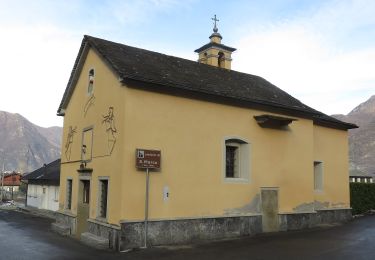
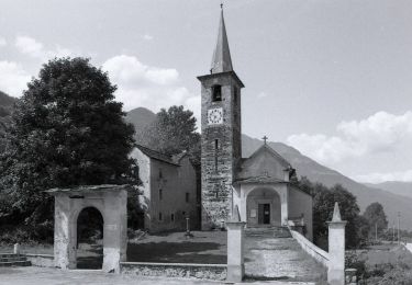
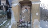
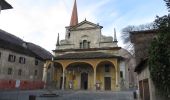
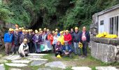
Trail On foot Pieve Vergonte - A00a - Strada Francisca tappa 2 - Photo

A00a - Strada Francisca tappa 2

Tous les sentiers balisés d’Europe GUIDE+

© OpenStreetMap contributors
Length
Length
23 km
Max alt
Max alt
307 m
Uphill gradient
Uphill gradient
423 m
Km-Effort
Km-Effort  
29 km
Min alt
Min alt
199 m
Downhill gradient
Downhill gradient
420 m
Boucle
Boucle
No
Signpost
Signpost
Creation date :
2022-02-15 15:49:10.453
Updated on :
2022-03-01 16:35:30.975

(0 Reviews)

On foot
On foot
6h28
Difficulty : Medium

Scan this QR Code to open this trail in the SityTrail application

FREE GPS app for hiking

Logo SityTrail SityTrail
IGN / Geographical institutes

Download SityTrail from the App Store Download SityTrail from Google Play

Logo SityTrail SityTrail World
The world is yours!

Download SityTrail from the App Store Download SityTrail from Google Play Download SityTrail on Huawei AppGallery

About

Trail On foot of 23 km to be discovered at Piemont, Verbano-Cusio-Ossola, Pieve Vergonte. This trail is proposed by SityTrail - itinéraires balisés pédestres.

Description

Relation with photos (click on → Web site) mantained by CAI Sezioni Est Monterosa

Symbol: some old white red flags


Website: http://www.estmonterosa.it/catasto-percorsi-vco-piana-del-toce-settore-a.html

Elevation profile

Photos

Positioning

Country:
Italy
Region :
Piemont
Department/Province :
Verbano-Cusio-Ossola
Municipality :
Pieve Vergonte
Location:
Unknown
Start:(UTM)
443956 ; 5095356 (32T) N.

Trails nearby

Trail On foot Premosello-Chiovenda - A36 - Premosello - bivio A34 Alpe Pianoni - Photo
On foot
GUIDE+

On foot

Easy
Premosello-Chiovenda, Piemont, Verbano-Cusio-Ossola, Italy
4.5 km | 12.7 km-effort
2h 53min
No
Trail On foot Vogogna - A28 - Prata - Pizzo Lacina - Photo
On foot
GUIDE+

On foot

Medium
Vogogna, Piemont, Verbano-Cusio-Ossola, Italy
4.9 km | 21 km-effort
4h 48min
No
Trail On foot Vogogna - A32 - Vogogna - Alpe Ceresola - bivio A28 - Photo
On foot
GUIDE+

On foot

Easy
Vogogna, Piemont, Verbano-Cusio-Ossola, Italy
4.8 km | 15.1 km-effort
3h 26min
No
Trail On foot Vogogna - A34 - Vogogna - Pizzo Lacina - Photo
On foot
GUIDE+

On foot

Medium
Vogogna, Piemont, Verbano-Cusio-Ossola, Italy
4.9 km | 22 km-effort
4h 53min
No
Trail On foot Premosello-Chiovenda - A38 - Premosello - Bocchetta di Saler - Photo
On foot
GUIDE+

On foot

Easy
Premosello-Chiovenda, Piemont, Verbano-Cusio-Ossola, Italy
5.3 km | 19.4 km-effort
4h 23min
No
Trail On foot Premosello-Chiovenda - A40 - Premosello - Pizzo Proman - Photo
On foot
GUIDE+

On foot

Medium
Premosello-Chiovenda, Piemont, Verbano-Cusio-Ossola, Italy
10.6 km | 30 km-effort
6h 44min
No
Trail On foot Pieve Vergonte - A41 - Rumianca - Alpe Pian Lago bivio B97 - Photo
On foot
GUIDE+

On foot

Medium
Pieve Vergonte, Piemont, Verbano-Cusio-Ossola, Italy
9.4 km | 25 km-effort
5h 44min
No
Trail On foot Pieve Vergonte - A39 - Megolo di Mezzo - Alpe Ventolaro - Photo
On foot
GUIDE+

On foot

Medium
Pieve Vergonte, Piemont, Verbano-Cusio-Ossola, Italy
7.2 km | 23 km-effort
5h 10min
No
Trail On foot Beura-Cardezza - A26 - Cuzzego località Carale - bivio A24 Pizzo Colla Bassa - Photo
On foot
GUIDE+

On foot

Easy
Beura-Cardezza, Piemont, Verbano-Cusio-Ossola, Italy
4.3 km | 18.2 km-effort
4h 8min
No


Close
My subscriptions