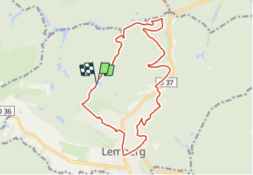

7.8 km | 10.1 km-effort


Tous les sentiers balisés d’Europe GUIDE+


FREE GPS app for hiking
 SityTrail
IGN / Geographical institutes
SityTrail World
The world is yours!
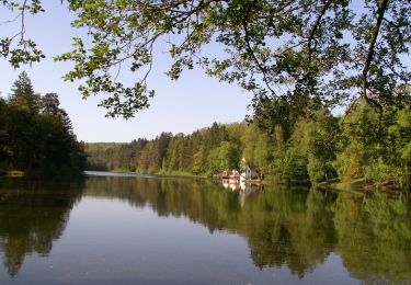
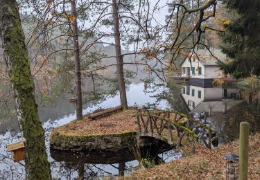
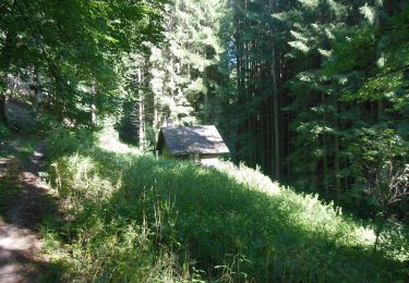
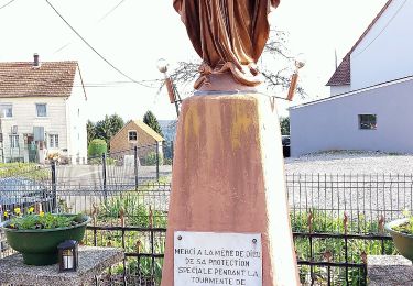
Trail On foot of 8.7 km to be discovered at Grand Est, Moselle, Lemberg. This trail is proposed by SityTrail - itinéraires balisés pédestres.
Trail created by Club vosgien Lemberg.
Symbol: red triangle
Website: http://www.club-vosgien-lemberg.net/wordpress/?page_id=1053


Walking

Walking

Walking

Walking
Horseback riding
On foot

On foot
On foot