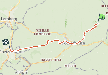

7.8 km | 10.1 km-effort


Tous les sentiers balisés d’Europe GUIDE+


FREE GPS app for hiking
 SityTrail
IGN / Geographical institutes
SityTrail World
The world is yours!
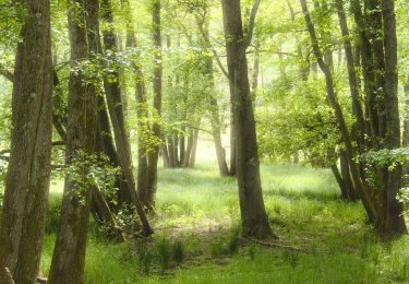
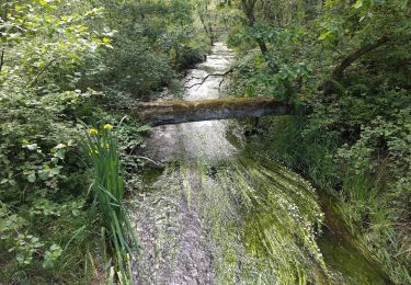
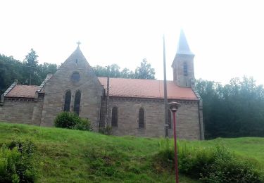
Trail On foot of 9.7 km to be discovered at Grand Est, Moselle, Mouterhouse. This trail is proposed by SityTrail - itinéraires balisés pédestres.
Trail created by Club vosgien Bitche.
Symbol: red dot
Website: https://ignrando.fr/fr/parcours/29377-3713et-bitche-25-disque-rouge-ferme-lindel-mouterhouse-goetzenbruck-centre


Walking

Walking

Walking

On foot
On foot

On foot