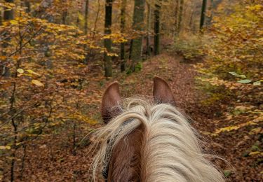
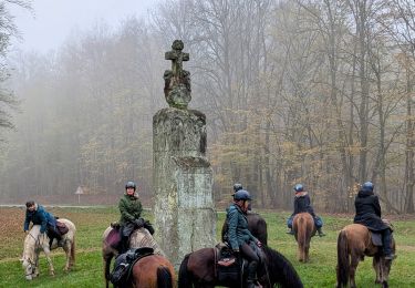
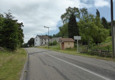
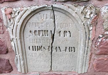
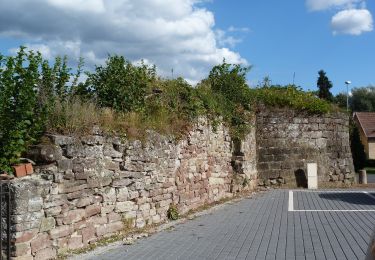
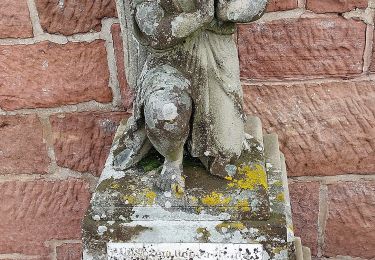
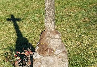
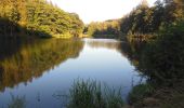
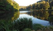
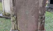
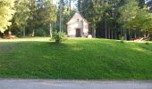
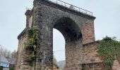
Trail On foot Rosteig - Green triangle - Photo

Green triangle

Tous les sentiers balisés d’Europe GUIDE+

© OpenStreetMap contributors
Length
Length
14.8 km
Max alt
Max alt
414 m
Uphill gradient
Uphill gradient
445 m
Km-Effort
Km-Effort  
20 km
Min alt
Min alt
238 m
Downhill gradient
Downhill gradient
315 m
Boucle
Boucle
No
Signpost
Signpost
Creation date :
2022-02-15 15:05:08.485
Updated on :
2022-03-02 17:25:19.691

(0 Reviews)

On foot
On foot
4h37
Difficulty : Medium

Scan this QR Code to open this trail in the SityTrail application

FREE GPS app for hiking

Logo SityTrail SityTrail

IGN / Geographical institutes

Download SityTrail from the App Store Download SityTrail from Google Play

Logo SityTrail SityTrail World
The world is yours!

Download SityTrail from the App Store Download SityTrail from Google Play Download SityTrail on Huawei AppGallery

About

Trail On foot of 14.8 km to be discovered at Grand Est, Bas-Rhin, Rosteig. This trail is proposed by SityTrail - itinéraires balisés pédestres.

Description

Sentiers circulaires à Soucht : Le départ se fait toujours à Soucht place de la République où se trouve un portique d'information ; les sentiers circulaires sont balisés dans les deux sens comme tous les sentiers du Club Vosgien. - sentier anneau bleu : il se situe au sud-ouest du village et présente de multiples…

Website: https://souchtclubvosgien.wordpress.com/sentiers-et-circuits-vtt/

Elevation profile

Photos

Positioning

Country:
France
Region :
Grand Est
Department/Province :
Bas-Rhin
Municipality :
Rosteig
Location:
Unknown
Start:(UTM)
378904 ; 5421362 (32U) N.

Trails nearby

Trail On foot Volksberg - Losange vert - Photo
On foot
GUIDE+

On foot

Easy
Volksberg, Grand Est, Bas-Rhin, France
9.1 km | 12.3 km-effort
2h 48min
Yes
Trail On foot Volksberg - Anneau vert - Photo
On foot
GUIDE+

On foot

Easy
Volksberg, Grand Est, Bas-Rhin, France
5.6 km | 7.6 km-effort
1h 43min
Yes
Trail On foot Puberg - Disque vert - Photo
On foot
GUIDE+

On foot

Medium
Puberg, Grand Est, Bas-Rhin, France
15.9 km | 20 km-effort
4h 39min
No
Trail On foot La Petite-Pierre - Triangle vert - Photo
On foot
GUIDE+

On foot

Easy
La Petite-Pierre, Grand Est, Bas-Rhin, France
15.1 km | 19.2 km-effort
4h 22min
No
Trail On foot Hinsbourg - Anneau rouge - Photo
On foot
GUIDE+

On foot

Easy
Hinsbourg, Grand Est, Bas-Rhin, France
7.1 km | 9.9 km-effort
2h 15min
Yes
Trail On foot Zittersheim - Anneau jaune - Photo
On foot
GUIDE+

On foot

Easy
Zittersheim, Grand Est, Bas-Rhin, France
9.5 km | 12.9 km-effort
2h 55min
Yes
Trail On foot Meisenthal - Following in the footsteps of the Glass and Clog makers - Tour 2 - Photo
On foot
GUIDE+

On foot

Easy
Meisenthal, Grand Est, Moselle, France
12.2 km | 16.7 km-effort
3h 47min
Yes
Trail On foot Wingen-sur-Moder - Following in the footsteps of the Glass and Clog makers - Tour 1 - Photo
On foot
GUIDE+

On foot

Medium
Wingen-sur-Moder, Grand Est, Bas-Rhin, France
17.4 km | 24 km-effort
5h 30min
Yes
Trail On foot Meisenthal - Mooncatchers permanent trail - 20 km - Photo
On foot
GUIDE+

On foot

Easy
Meisenthal, Grand Est, Moselle, France
8.8 km | 11.7 km-effort
2h 39min
No


Close
My subscriptions