


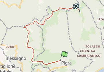

14.3 km | 18.9 km-effort


Tous les sentiers balisés d’Europe GUIDE+


FREE GPS app for hiking
 SityTrail
IGN / Geographical institutes
SityTrail World
The world is yours!
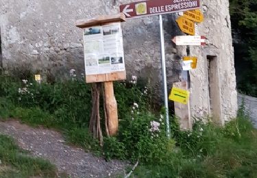
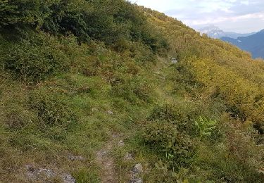
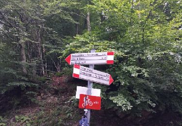
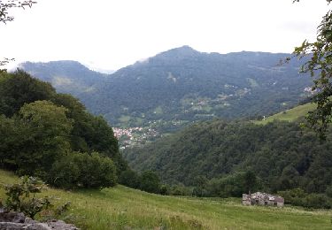
Trail On foot of 7 km to be discovered at Lombardy, Como, Pigra. This trail is proposed by SityTrail - itinéraires balisés pédestres.
Trail created by Associazione Amici di Pigra.
Website: http://www.aapigra.it/aap/escursioni/sentieri/777-percorso-ciclamino-sentiero-n-8


Walking
On foot

On foot
On foot

Walking
Walking
Walking