![](/images/other/stat-length.png)
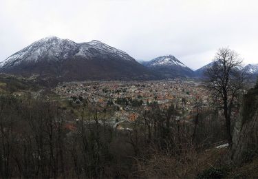
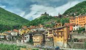
![Trail On foot Villadossola - C01 - Villadossola-Alpe Baldana, bivio C05 - Photo](https://media.geolcdn.com/t/1900/400/a8b58a17-65ff-4556-8e0b-9a913ecab9a0.jpeg&format=pjpeg&maxdim=2)
C01 - Villadossola-Alpe Baldana, bivio C05
SityTrail - itinéraires balisés pédestres
Tous les sentiers balisés d’Europe GUIDE+
![Length](/images/other/stat-length.png)
Length
4.2 km
![Max alt](https://static1.geolcdn.com/siteimages/upload/files/1508320355ic_sort_altitude_max_24dp.png)
Max alt
1213 m
![Uphill gradient](https://static1.geolcdn.com/siteimages/upload/files/1508320355ic_sort_den_pos_24dp.png)
Uphill gradient
942 m
![Km-Effort](/images/other/stat-length.png)
Km-Effort
13.6 km
![Min alt](https://static1.geolcdn.com/siteimages/upload/files/1508320355ic_sort_altitude_min_24dp.png)
Min alt
263 m
![Downhill gradient](https://static1.geolcdn.com/siteimages/upload/files/1508320355ic_sort_den_neg_24dp.png)
Downhill gradient
0 m
![Boucle](https://static1.geolcdn.com/siteimages/upload/files/16400158638029165_repeat_loop_refresh_sync_direction_icon.png)
Boucle
No
Signpost
Creation date :
2022-02-15 14:39:34.452
Updated on :
2022-03-01 14:58:06.127
![On foot](https://static1.geolcdn.com/sitytour/trail-icons/100.png)
3h05
Difficulty : Easy
![Scan this QR Code to open this trail in the SityTrail application](https://capi.geolives.com/qq0zvz2zws4bq2lad0pu/sitytour/trails/3120148/qr.png?size=200)
FREE GPS app for hiking
About
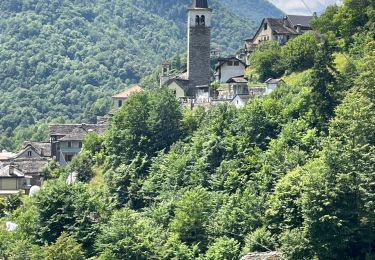
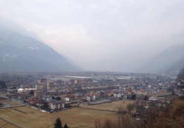
Trail On foot of 4.2 km to be discovered at Piemont, Verbano-Cusio-Ossola, Villadossola. This trail is proposed by SityTrail - itinéraires balisés pédestres.
Description
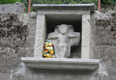
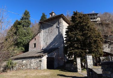
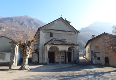
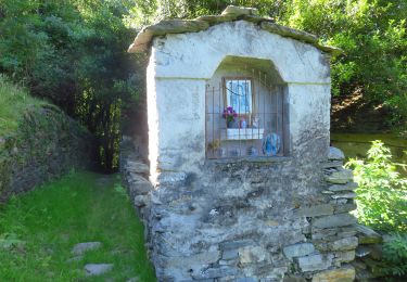
Relation with photos (click on → Web site) mantained by CAI Sezioni Est Monterosa
Symbol: some white red flags
Positioning
Country:
Italy
Region :
Piemont
Department/Province :
Verbano-Cusio-Ossola
Municipality :
Villadossola
Location:
Unknown
Start:(Dec)
Start:(UTM)
442879 ; 5101579 (32T) N.
Comments
Trails nearby
![Trail On foot Vogogna - A28 - Prata - Pizzo Lacina - Photo](https://media.geolcdn.com/t/375/260/8aeb7711-b735-41b0-8b8f-3bd3e8a5adc5.jpeg&format=jpg&maxdim=2)
![On foot On foot](https://static1.geolcdn.com/sitytour/trail-icons/100.png)
A28 - Prata - Pizzo Lacina
On foot
Medium
Vogogna,
Piemont,
Verbano-Cusio-Ossola,
Italy
![](/images/other/stat-length.png)
4.9 km | 21 km-effort
4h 48min
![](https://static1.geolcdn.com/siteimages/upload/files/16400158638029165_repeat_loop_refresh_sync_direction_icon.png)
No
![Trail Walking Piedimulera - 17.06.2023 - Piedimulera - Le chemin muletier médiéval dans la Vallée Anzasca - Photo](https://media.geolcdn.com/t/375/260/87a72b28-daef-4633-87b9-55bedcaa5a07.jpg&format=jpg&maxdim=2)
![Walking Walking](https://static1.geolcdn.com/sitytour/trail-icons/101.png)
17.06.2023 - Piedimulera - Le chemin muletier médiéval dans la Vallée Anzasca
Walking
Medium
Piedimulera,
Piemont,
Verbano-Cusio-Ossola,
Italy
![](/images/other/stat-length.png)
5.6 km | 10.4 km-effort
2h 22min
![](https://static1.geolcdn.com/siteimages/upload/files/16400158638029165_repeat_loop_refresh_sync_direction_icon.png)
No
![Trail On foot Borgomezzavalle - C10 - Seppiana - Alpe Ortighè - Photo](https://media.geolcdn.com/t/375/260/c6fb6612-1c27-4139-8a2d-9a3f13d96004.jpeg&format=jpg&maxdim=2)
![On foot On foot](https://static1.geolcdn.com/sitytour/trail-icons/100.png)
C10 - Seppiana - Alpe Ortighè
On foot
Easy
Borgomezzavalle,
Piemont,
Verbano-Cusio-Ossola,
Italy
![](/images/other/stat-length.png)
3.9 km | 12.2 km-effort
2h 46min
![](https://static1.geolcdn.com/siteimages/upload/files/16400158638029165_repeat_loop_refresh_sync_direction_icon.png)
No
![Trail On foot Beura-Cardezza - A26 - Cuzzego località Carale - bivio A24 Pizzo Colla Bassa - Photo](https://media.geolcdn.com/t/375/260/7795698e-51c9-4447-8810-d7365846d785.jpeg&format=jpg&maxdim=2)
![On foot On foot](https://static1.geolcdn.com/sitytour/trail-icons/100.png)
A26 - Cuzzego località Carale - bivio A24 Pizzo Colla Bassa
On foot
Easy
Beura-Cardezza,
Piemont,
Verbano-Cusio-Ossola,
Italy
![](/images/other/stat-length.png)
4.3 km | 18.2 km-effort
4h 8min
![](https://static1.geolcdn.com/siteimages/upload/files/16400158638029165_repeat_loop_refresh_sync_direction_icon.png)
No
![Trail On foot Beura-Cardezza - A20 - Beura - Punta Pozzolo - Photo](https://media.geolcdn.com/t/375/260/957f9a46-6493-4616-81e4-fca3de0fe2e1.jpeg&format=jpg&maxdim=2)
![On foot On foot](https://static1.geolcdn.com/sitytour/trail-icons/100.png)
A20 - Beura - Punta Pozzolo
On foot
Medium
Beura-Cardezza,
Piemont,
Verbano-Cusio-Ossola,
Italy
![](/images/other/stat-length.png)
7.6 km | 26 km-effort
5h 48min
![](https://static1.geolcdn.com/siteimages/upload/files/16400158638029165_repeat_loop_refresh_sync_direction_icon.png)
No
![Trail On foot Domodossola - A01 - La Via Alta - Photo](https://media.geolcdn.com/t/375/260/7680a1a4-15a5-4bfc-84da-6b4368c8417e.jpeg&format=jpg&maxdim=2)
![On foot On foot](https://static1.geolcdn.com/sitytour/trail-icons/100.png)
A01 - La Via Alta
On foot
Easy
Domodossola,
Piemont,
Verbano-Cusio-Ossola,
Italy
![](/images/other/stat-length.png)
7.8 km | 12.9 km-effort
2h 56min
![](https://static1.geolcdn.com/siteimages/upload/files/16400158638029165_repeat_loop_refresh_sync_direction_icon.png)
No
![Trail On foot Villadossola - A03 - Villadossola - Colletto Moncucco - Photo](https://media.geolcdn.com/t/375/260/e0bfa2a9-b3e6-4503-9705-3ae42433f58e.jpeg&format=jpg&maxdim=2)
![On foot On foot](https://static1.geolcdn.com/sitytour/trail-icons/100.png)
A03 - Villadossola - Colletto Moncucco
On foot
Medium
Villadossola,
Piemont,
Verbano-Cusio-Ossola,
Italy
![](/images/other/stat-length.png)
8.2 km | 24 km-effort
5h 28min
![](https://static1.geolcdn.com/siteimages/upload/files/16400158638029165_repeat_loop_refresh_sync_direction_icon.png)
No
![Trail On foot Beura-Cardezza - A22 - Cardezza bivio A00 - Punta della Rossola - Photo](https://media.geolcdn.com/t/375/260/b9e8d35b-8196-4072-a625-350d2826be88.jpeg&format=jpg&maxdim=2)
![On foot On foot](https://static1.geolcdn.com/sitytour/trail-icons/100.png)
A22 - Cardezza bivio A00 - Punta della Rossola
On foot
Medium
Beura-Cardezza,
Piemont,
Verbano-Cusio-Ossola,
Italy
![](/images/other/stat-length.png)
8.9 km | 27 km-effort
6h 10min
![](https://static1.geolcdn.com/siteimages/upload/files/16400158638029165_repeat_loop_refresh_sync_direction_icon.png)
No
![Trail On foot Trontano - Via Romana tappa 1 - Photo](https://media.geolcdn.com/t/375/260/7c7e3ceb-5cbc-4e10-b9c9-fdad799deb05.jpeg&format=jpg&maxdim=2)
![On foot On foot](https://static1.geolcdn.com/sitytour/trail-icons/100.png)
Via Romana tappa 1
On foot
Easy
Trontano,
Piemont,
Verbano-Cusio-Ossola,
Italy
![](/images/other/stat-length.png)
13.9 km | 17.7 km-effort
4h 0min
![](https://static1.geolcdn.com/siteimages/upload/files/16400158638029165_repeat_loop_refresh_sync_direction_icon.png)
No