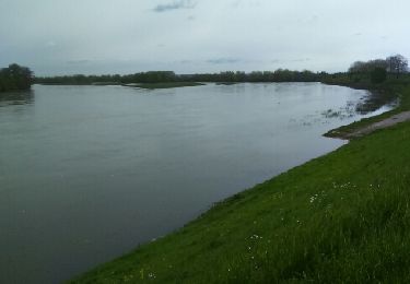
9.1 km | 9.8 km-effort
morchene
Jean-Luc bazinet
User
Length
3.6 km
Max alt
116 m
Uphill gradient
30 m
Km-Effort
4 km
Min alt
102 m
Downhill gradient
32 m
Boucle
No
Creation date :
2022-02-15 13:30:44.506
Updated on :
2022-02-15 14:36:53.238
1h05
Difficulty : Easy
FREE GPS app for hiking
About
Trail Walking of 3.6 km to be discovered at Centre-Loire Valley, Loiret, Saint-Cyr-en-Val. This trail is proposed by Jean-Luc bazinet.
Positioning
Country:
France
Region :
Centre-Loire Valley
Department/Province :
Loiret
Municipality :
Saint-Cyr-en-Val
Location:
Unknown
Start:(Dec)
Start:(UTM)
422929 ; 5297481 (31T) N.
Comments
Trails nearby
Randonnée Sandillon
Walking
Medium
Sandillon,
Centre-Loire Valley,
Loiret,
France
30 km | 33 km-effort
5h 12min
Yes
etang de la vallee
Cycle
Easy
Sandillon,
Centre-Loire Valley,
Loiret,
France
68 km | 74 km-effort
Unknown
Yes
00 EXT Orléans Paron 139 km
Road bike
Medium
Orléans,
Centre-Loire Valley,
Loiret,
France
139 km | 152 km-effort
1h 23min
No
sand
Walking
Very easy
Sandillon,
Centre-Loire Valley,
Loiret,
France
10.8 km | 11.8 km-effort
2h 7min
Yes
sandillon ferolles sandillon
Cycle
Very easy
Sandillon,
Centre-Loire Valley,
Loiret,
France
21 km | 23 km-effort
1h 19min
Yes
Des Lacs au venelles
Walking
Very easy
Orléans,
Centre-Loire Valley,
Loiret,
France
11.5 km | 12.5 km-effort
2h 47min
Yes
séjour itinérant à vélo étape 4
Cycle
Easy
Olivet,
Centre-Loire Valley,
Loiret,
France
45 km | 48 km-effort
2h 49min
No
Saint Cyr en Val-Morchêne
Walking
Easy
(1)
Saint-Cyr-en-Val,
Centre-Loire Valley,
Loiret,
France
10.2 km | 11.2 km-effort
2h 29min
Yes