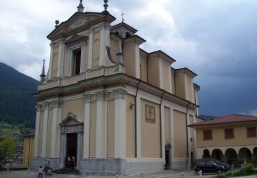
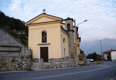
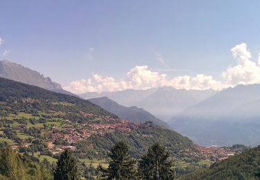
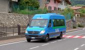
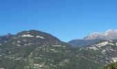
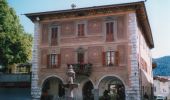
Trail On foot Borno - Sentiero dei ciclamini - Photo

Sentiero dei ciclamini

Tous les sentiers balisés d’Europe GUIDE+

© OpenStreetMap contributors
Length
Length
7.8 km
Max alt
Max alt
886 m
Uphill gradient
Uphill gradient
291 m
Km-Effort
Km-Effort  
11.7 km
Min alt
Min alt
629 m
Downhill gradient
Downhill gradient
286 m
Boucle
Boucle
Yes
Signpost
Signpost
Creation date :
2022-02-15 14:33:50.641
Updated on :
2022-03-01 14:38:34.456

(0 Reviews)

On foot
On foot
2h39
Difficulty : Easy

Scan this QR Code to open this trail in the SityTrail application

FREE GPS app for hiking

Logo SityTrail SityTrail

IGN / Geographical institutes

Download SityTrail from the App Store Download SityTrail from Google Play

Logo SityTrail SityTrail World

The world is yours!

Download SityTrail from the App Store Download SityTrail from Google Play Download SityTrail on Huawei AppGallery

About

Trail On foot of 7.8 km to be discovered at Lombardy, Brescia, Borno. This trail is proposed by SityTrail - itinéraires balisés pédestres.

Description

Descrizione del percorso: Da Piazza Giovanni Paolo II costeggiare il lato destro del Municipio e percorre via Fonte Pizzoli (verso il cimitero). All’incrocio con via Calamè, si prosegue su via Fonte Pizzoli sino ad una vecchia segheria. Restando sulla via principale (asfaltata), si supera un ponticello e si prosegue sino ad incontrare una deviazione…

Website: https://corriintavola.wordpress.com/sentiero-dei-ciclamini/

Elevation profile

Photos

Positioning

Country:
Italy
Region :
Lombardy
Department/Province :
Brescia
Municipality :
Borno
Location:
Unknown
Start:(UTM)
593453 ; 5088868 (32T) N.

Trails nearby

Trail On foot Borno - Sentiero delle pietre e degli Dei - Photo
On foot
GUIDE+

On foot

Easy
Borno, Lombardy, Brescia, Italy
12.2 km | 16.5 km-effort
3h 45min
No
Trail On foot Borno - Trekking dell'Altopiano del Sole - Photo
On foot
GUIDE+

On foot

Easy
Borno, Lombardy, Brescia, Italy
7.2 km | 8.9 km-effort
2h 1min
No
Trail On foot Lozio - Trekking tra malghe e menhir anello 7: Dosso della Sella - Malga Rò - Photo
On foot
GUIDE+

On foot

Easy
Lozio, Lombardy, Brescia, Italy
10.9 km | 18.3 km-effort
4h 9min
No
Trail On foot Lozio - Brigata Fiamme Verdi Giacomo Cappellini - Photo
On foot
GUIDE+

On foot

Easy
Lozio, Lombardy, Brescia, Italy
8.1 km | 13.1 km-effort
2h 58min
Yes
Trail On foot Borno - Trekking tra malghe e menhir anello 8: Trekking menhir e incisioni rupestri - Photo
On foot
GUIDE+

On foot

Easy
Borno, Lombardy, Brescia, Italy
10.3 km | 14.9 km-effort
3h 23min
No
Trail On foot Borno - Sentiero del Paradiso - Photo
On foot
GUIDE+

On foot

Difficult
Borno, Lombardy, Brescia, Italy
21 km | 35 km-effort
8h 3min
Yes
Trail On foot Borno - Sentiero del falco pellegrino - Photo
On foot
GUIDE+

On foot

Medium
Borno, Lombardy, Brescia, Italy
13.6 km | 22 km-effort
4h 53min
No
Trail On foot Borno - Sentiero delle streghe - Photo
On foot
GUIDE+

On foot

Easy
Borno, Lombardy, Brescia, Italy
7 km | 9.7 km-effort
2h 12min
No
Trail On foot Borno - Sentiero dei ruscelli canterini - Photo
On foot
GUIDE+

On foot

Easy
Borno, Lombardy, Brescia, Italy
6.5 km | 9.6 km-effort
2h 11min
Yes


Close
My subscriptions