


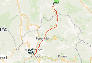

16.6 km | 27 km-effort

Tous les sentiers balisés d’Europe GUIDE+


FREE GPS app for hiking
 SityTrail
IGN / Geographical institutes
SityTrail World
The world is yours!
Trail On foot of 15.1 km to be discovered at Umbria, Perugia, Scheggino. This trail is proposed by SityTrail - itinéraires balisés pédestres.
È un unico cammino per raggiungere Assisi sui passi di San Francesco, partendo da Nord (La Verna) o da Sud (Roma)
. È un itinerario che collega tra loro alcuni luoghi che testimoniano della vita e della predicazione del Santo di Assisi; un cammino di pellegrinaggio, che intende riproporre l'esperienza francescana nelle terre che il Poverello ha calcato nelle sue itineranze.
Website: https://www.viadifrancesco.it/


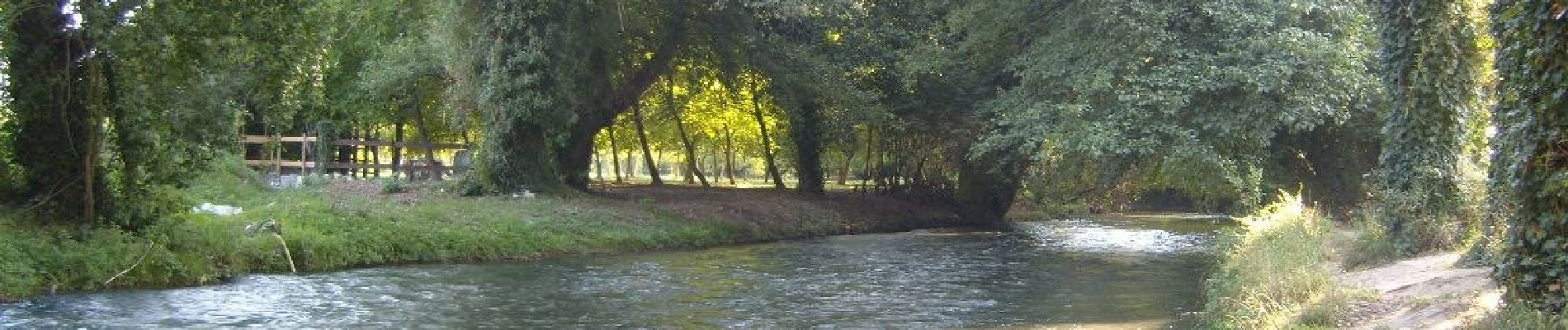
On foot