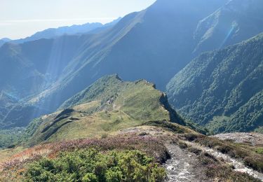
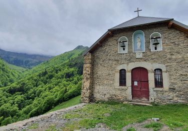
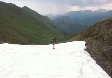
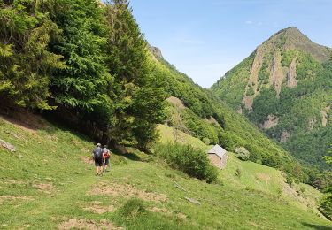
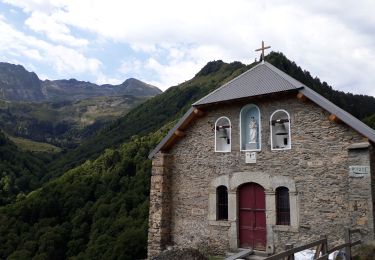
Trail On foot Antras - Boucle de la chapelle de l'isard - Photo

Boucle de la chapelle de l'isard

Tous les sentiers balisés d’Europe GUIDE+

© OpenStreetMap contributors
Length
Length
7 km
Max alt
Max alt
1425 m
Uphill gradient
Uphill gradient
77 m
Km-Effort
Km-Effort  
9.9 km
Min alt
Min alt
830 m
Downhill gradient
Downhill gradient
635 m
Boucle
Boucle
No
Signpost
Signpost
Creation date :
2022-02-15 12:40:01.488
Updated on :
2022-03-02 15:44:28.49

(0 Reviews)

On foot
On foot
2h14
Difficulty : Easy

Scan this QR Code to open this trail in the SityTrail application

FREE GPS app for hiking

Logo SityTrail SityTrail

IGN / Geographical institutes

Download SityTrail from the App Store Download SityTrail from Google Play

Logo SityTrail SityTrail World

The world is yours!

Download SityTrail from the App Store Download SityTrail from Google Play Download SityTrail on Huawei AppGallery

About

Trail On foot of 7 km to be discovered at Occitania, Ariège, Antras. This trail is proposed by SityTrail - itinéraires balisés pédestres.

Elevation profile

Positioning

Country:
France
Region :
Occitania
Department/Province :
Ariège
Municipality :
Antras
Location:
Unknown
Start:(UTM)
326939 ; 4747058 (31T) N.

Trails nearby

Trail Walking Sentein - M008-Frechendech à Etang ARAING - Photo
Walking
Polo-31

Walking

Difficult
(1)
Sentein, Occitania, Ariège, France
24 km | 44 km-effort
10h 0min
Yes
Trail Walking Sentein - Araing Crabère - Photo
Walking
Gepeto_22

Walking

Difficult
(2)
Sentein, Occitania, Ariège, France
32 km | 63 km-effort
9h 49min
No
Trail Walking Sentein - 2022 TRANSPYRÉNÉEN :l’Etand d’Araing -Eylie le haut. - Photo
Walking
LEGUE

Walking

Difficult
Sentein, Occitania, Ariège, France
9.7 km | 18.1 km-effort
3h 15min
No
Trail Walking Sentein - Cabane d'Illau et chapelle de l'izard  - Photo
Walking
chrisgps

Walking

Medium
(1)
Sentein, Occitania, Ariège, France
15.2 km | 26 km-effort
6h 46min
Yes
Trail Walking Saint-Lary - pic de la Calabasse en boucles depuis le parking de l'Osque Couret - Photo
Walking
chrisgps

Walking

Medium
(1)
Saint-Lary, Occitania, Ariège, France
13.4 km | 28 km-effort
7h 13min
Yes
Trail Walking Sentein - Le tour du cirque de la plagne - Photo
Walking
patricklecetre

Walking

Medium
(2)
Sentein, Occitania, Ariège, France
10.3 km | 24 km-effort
4h 7min
Yes
Trail Walking Sentein - Pic de Crabere - Photo
Walking
istmuso

Walking

Very easy
(1)
Sentein, Occitania, Ariège, France
32 km | 68 km-effort
Unknown
No
Trail Walking Sentein - etang d'Araing - Photo
Walking
chrisgps

Walking

Difficult
Sentein, Occitania, Ariège, France
19.5 km | 36 km-effort
8h 48min
Yes
Trail Walking Sentein - Chapelle de l'Isard - Photo
Walking
GuyVachet

Walking

Medium
Sentein, Occitania, Ariège, France
12.4 km | 21 km-effort
8h 0min
Yes


Close
My subscriptions