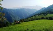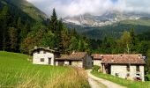

Sentiero delle Orobie Orientali - Tappa finale Anello
SityTrail - itinéraires balisés pédestres
Tous les sentiers balisés d’Europe GUIDE+

Length
14.9 km

Max alt
2070 m

Uphill gradient
329 m

Km-Effort
24 km

Min alt
598 m

Downhill gradient
1665 m
Boucle
No
Signpost
Creation date :
2022-02-15 12:07:19.215
Updated on :
2022-03-01 09:23:02.814
5h24
Difficulty : Medium

FREE GPS app for hiking
About
Trail On foot of 14.9 km to be discovered at Lombardy, Bergamo, Colere. This trail is proposed by SityTrail - itinéraires balisés pédestres.
Description
Ultima tappa del SENTIERO DELLE OROBIE ORIENTALI - variante ad anello che riporta ad Ardesio.
Website: http://geoportale.caibergamo.it/sentiero/311
Positioning
Country:
Italy
Region :
Lombardy
Department/Province :
Bergamo
Municipality :
Colere
Location:
Unknown
Start:(Dec)
Start:(UTM)
581804 ; 5090828 (32T) N.
Comments
Trails nearby

CAI320: Baite del Möschel - Grotta dei Pagani


On foot
Easy
Oltressenda Alta,
Lombardy,
Bergamo,
Italy

6.2 km | 16.3 km-effort
3h 42min
No
CAI315: Passo della Presolana - Grotta dei Pagani


On foot
Easy
Colere,
Lombardy,
Bergamo,
Italy

4.8 km | 14.2 km-effort
3h 13min
No
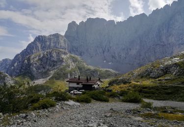
Sentiero delle Orobie Orientali - Tappa finale Classico


On foot
Easy
Colere,
Lombardy,
Bergamo,
Italy

9.4 km | 19.6 km-effort
4h 27min
No
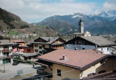

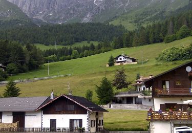
CAI316: Cantoniera della Presolana - Monte Visolo


On foot
Easy
Colere,
Lombardy,
Bergamo,
Italy

5.5 km | 15.9 km-effort
3h 36min
No

CAI326: Rifugio Albani - Monte Visolo (ferrata della Porta)


On foot
Easy
Colere,
Lombardy,
Bergamo,
Italy

3.4 km | 10 km-effort
2h 16min
No
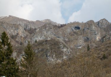
Castione - Via del Latte


On foot
Easy
Castione della Presolana,
Lombardy,
Bergamo,
Italy

12.1 km | 18.5 km-effort
4h 12min
No


 SityTrail


