


5.8 km | 9.6 km-effort

Tous les sentiers balisés d’Europe GUIDE+


FREE GPS app for hiking
 SityTrail
IGN / Geographical institutes
SityTrail World
The world is yours!
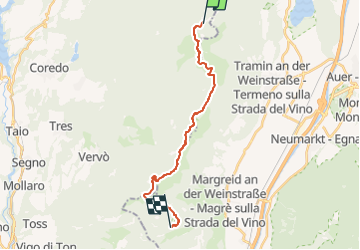
Trail On foot of 17.3 km to be discovered at Trentino-Alto Adige/Südtirol, Provincia di Trento, Amblar-Don. This trail is proposed by SityTrail - itinéraires balisés pédestres.
Sentiero Italia CAI 2019
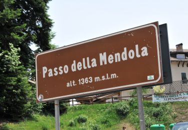
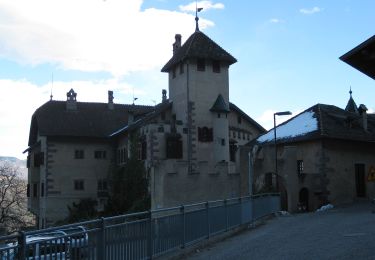
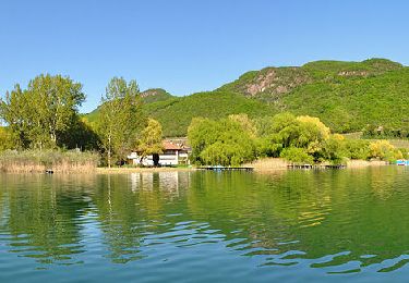
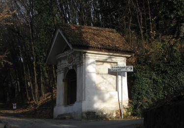
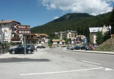
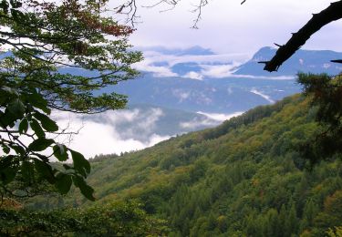
 Malga Romeno (bivio Rifugio Oltradige) - Monte Roen - Giogo di Coredo - Passo Predaia - Corno di Tres - Sella di Favogna (Fenner Joch) - Favogna - Photo 1")
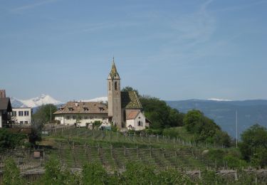
 Malga Romeno (bivio Rifugio Oltradige) - Monte Roen - Giogo di Coredo - Passo Predaia - Corno di Tres - Sella di Favogna (Fenner Joch) - Favogna - Photo 2")
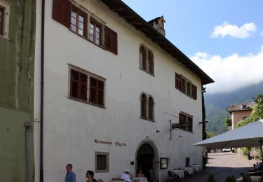
 Malga Romeno (bivio Rifugio Oltradige) - Monte Roen - Giogo di Coredo - Passo Predaia - Corno di Tres - Sella di Favogna (Fenner Joch) - Favogna - Photo 3")
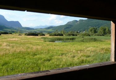
 Malga Romeno (bivio Rifugio Oltradige) - Monte Roen - Giogo di Coredo - Passo Predaia - Corno di Tres - Sella di Favogna (Fenner Joch) - Favogna - Photo 4")
 Malga Romeno (bivio Rifugio Oltradige) - Monte Roen - Giogo di Coredo - Passo Predaia - Corno di Tres - Sella di Favogna (Fenner Joch) - Favogna - Photo 5")
 Malga Romeno (bivio Rifugio Oltradige) - Monte Roen - Giogo di Coredo - Passo Predaia - Corno di Tres - Sella di Favogna (Fenner Joch) - Favogna - Photo 6")
 Malga Romeno (bivio Rifugio Oltradige) - Monte Roen - Giogo di Coredo - Passo Predaia - Corno di Tres - Sella di Favogna (Fenner Joch) - Favogna - Photo 7")
 Malga Romeno (bivio Rifugio Oltradige) - Monte Roen - Giogo di Coredo - Passo Predaia - Corno di Tres - Sella di Favogna (Fenner Joch) - Favogna - Photo 8")
 Malga Romeno (bivio Rifugio Oltradige) - Monte Roen - Giogo di Coredo - Passo Predaia - Corno di Tres - Sella di Favogna (Fenner Joch) - Favogna - Photo 9")
 Malga Romeno (bivio Rifugio Oltradige) - Monte Roen - Giogo di Coredo - Passo Predaia - Corno di Tres - Sella di Favogna (Fenner Joch) - Favogna - Photo 10")
On foot
On foot
On foot
On foot
On foot
On foot
On foot
On foot
On foot