


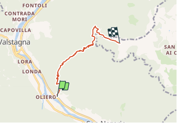

9.8 km | 14.2 km-effort

Tous les sentiers balisés d’Europe GUIDE+


FREE GPS app for hiking
 SityTrail
IGN / Geographical institutes
SityTrail World
The world is yours!
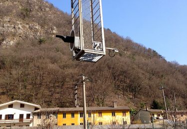
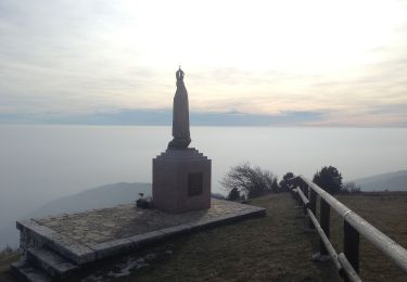
Trail On foot of 4.8 km to be discovered at Veneto, Vicenza, Valbrenta. This trail is proposed by SityTrail - itinéraires balisés pédestres.
Trail created by Club Alpino Italiano.
Symbol: 936 on white red flag
Website: http://www.caibassanograppa.com


On foot
On foot
On foot


On foot

On foot
On foot