


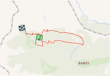

6.4 km | 10.2 km-effort

Tous les sentiers balisés d’Europe GUIDE+


FREE GPS app for hiking
 SityTrail
IGN / Geographical institutes
SityTrail World
The world is yours!
Trail On foot of 6.3 km to be discovered at Lombardy, Bergamo, Ardesio. This trail is proposed by SityTrail - itinéraires balisés pédestres.
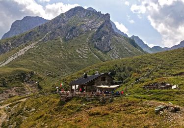
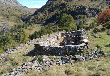
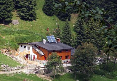
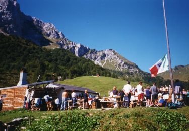
Il sentiero compie un giro ad anello con partenza ed arrivo dal rifugio Alpe Corte (1410 m) e permette di osservare nel migliore dei modi la bastionata “dolomitica” delle pareti nord che vanno dal Monte Secco al Pizzo Arera. Dal rifugio si scende a valle per pochi metri e si trova la tabella segnavia che indica la partenza del sentiero sulla sinistra. Si entra subito nel bosco
Website: http://geoportale.caibergamo.it/it/sentiero/265a

On foot
On foot
On foot
On foot
On foot
On foot

On foot