


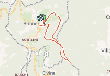

21 km | 32 km-effort


Tous les sentiers balisés d’Europe GUIDE+


FREE GPS app for hiking
 SityTrail
IGN / Geographical institutes
SityTrail World
The world is yours!
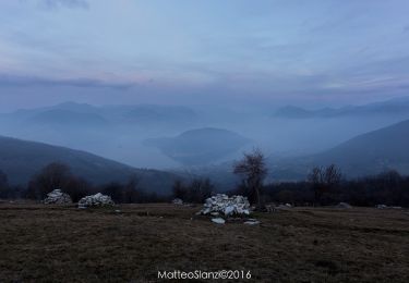
Trail On foot of 7.2 km to be discovered at Lombardy, Brescia, Brione. This trail is proposed by SityTrail - itinéraires balisés pédestres.
Trail created by Gruppo Operativo Volontario Sentieri della Resistenza Bresciana.
Symbol: 28 on green white red flag

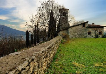
On foot
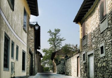
On foot
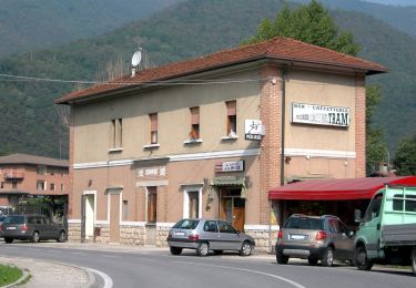
On foot
On foot

On foot
On foot

On foot

On foot
On foot