


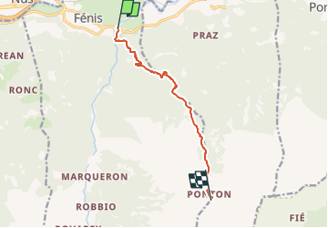

4.3 km | 9.9 km-effort

Tous les sentiers balisés d’Europe GUIDE+


FREE GPS app for hiking
 SityTrail
IGN / Geographical institutes
SityTrail World
The world is yours!
Trail On foot of 7.7 km to be discovered at Aosta Valley, Unknown, Fénis. This trail is proposed by SityTrail - itinéraires balisés pédestres.
Trail created by Comune di Fenis.
Symbol: black number on yellow round
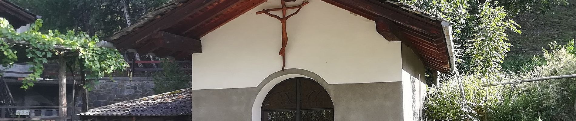
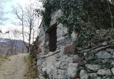
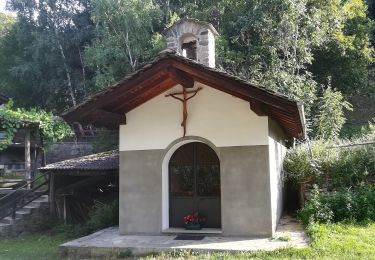
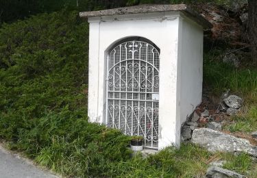
-Ponton(2.061) E - 4h28' - Photo 1")
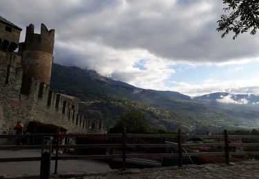
-Ponton(2.061) E - 4h28' - Photo 2")
-Ponton(2.061) E - 4h28' - Photo 3")
-Ponton(2.061) E - 4h28' - Photo 4")
-Ponton(2.061) E - 4h28' - Photo 5")
-Ponton(2.061) E - 4h28' - Photo 6")
-Ponton(2.061) E - 4h28' - Photo 7")
-Ponton(2.061) E - 4h28' - Photo 8")
-Ponton(2.061) E - 4h28' - Photo 9")
-Ponton(2.061) E - 4h28' - Photo 10")
On foot
On foot
On foot
