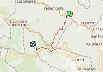

4.8 km | 9.7 km-effort


Tous les sentiers balisés d’Europe GUIDE+


FREE GPS app for hiking
 SityTrail
IGN / Geographical institutes
SityTrail World
The world is yours!
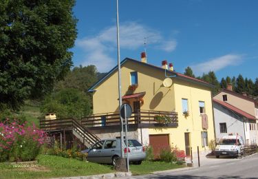
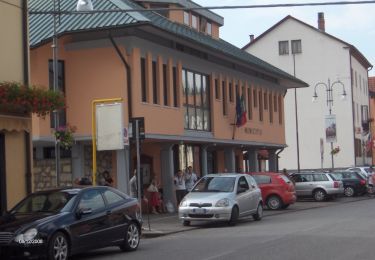
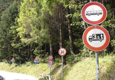
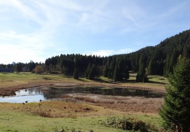
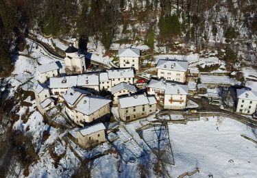
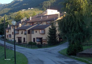
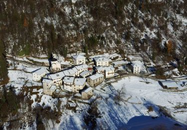
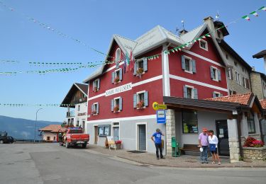
Trail On foot of 6.7 km to be discovered at Veneto, Vicenza, Lastebasse. This trail is proposed by SityTrail - itinéraires balisés pédestres.
Sezione di Thiene del Club Alpino Italiano Montagna, Ambiente, Cultura, Condivisione, Formazione. Escursionismo, Alpinismo, Alpinismo Giovanile, Scialpinismo.
Website: http://www.caisezionethiene.it/
On foot
On foot
On foot