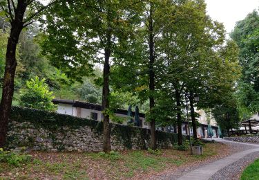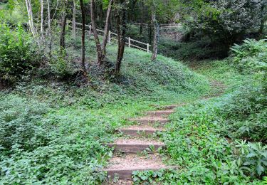

Statale Costo (dal 10° tornante) - Bocchetta Paù - Cima del Gallo
SityTrail - itinéraires balisés pédestres
Tous les sentiers balisés d’Europe GUIDE+

Length
5 km

Max alt
1399 m

Uphill gradient
578 m

Km-Effort
11.1 km

Min alt
805 m

Downhill gradient
96 m
Boucle
No
Signpost
Creation date :
2022-02-15 04:16:38.497
Updated on :
2022-03-01 01:13:00.425
2h31
Difficulty : Easy

FREE GPS app for hiking
About
Trail On foot of 5 km to be discovered at Veneto, Vicenza, Cogollo del Cengio. This trail is proposed by SityTrail - itinéraires balisés pédestres.
Description
Symbol: 661 on white red flag
Website: http://www.caidueville.it
Positioning
Country:
Italy
Region :
Veneto
Department/Province :
Vicenza
Municipality :
Cogollo del Cengio
Location:
Unknown
Start:(Dec)
Start:(UTM)
689502 ; 5074440 (32T) N.
Comments
Trails nearby


Sentiero dei Girolimini


On foot
Easy
Piovene Rocchette,
Veneto,
Vicenza,
Italy

5.2 km | 14 km-effort
3h 10min
No

Chiesa (Tresche Conca) - Contrada Ostarelli - Contrada Dosso - Contrada Mosca...


On foot
Easy
Roana,
Veneto,
Vicenza,
Italy

4.7 km | 7.4 km-effort
1h 40min
No

Strada Vicinale della Fonda


On foot
Easy
Chiuppano,
Veneto,
Vicenza,
Italy

4 km | 6.1 km-effort
1h 22min
No

Caltrano (cimitero) - Bocchetta Paù


On foot
Easy
Caltrano,
Veneto,
Vicenza,
Italy

4.7 km | 14.6 km-effort
3h 19min
No

Mosso - Bocchetta Paù per la Val Terragna


On foot
Easy
Cogollo del Cengio,
Veneto,
Vicenza,
Italy

4.7 km | 13.6 km-effort
3h 5min
No

Tezze di Caltrano - Malga Serona


On foot
Easy
Caltrano,
Veneto,
Vicenza,
Italy

5.3 km | 14.5 km-effort
3h 17min
No

Tezze di Caltrano - Malga Foraoro


On foot
Easy
Caltrano,
Veneto,
Vicenza,
Italy

6.8 km | 17.2 km-effort
3h 53min
No


 SityTrail


