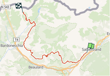

24 km | 38 km-effort


Tous les sentiers balisés d’Europe GUIDE+


FREE GPS app for hiking
 SityTrail
IGN / Geographical institutes
SityTrail World
The world is yours!
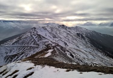
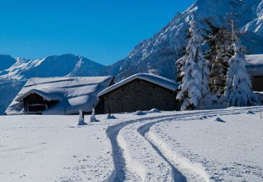
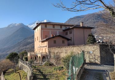
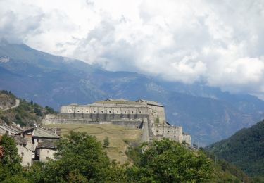
Trail On foot of 31 km to be discovered at Piemont, Torino, Salbertrand. This trail is proposed by SityTrail - itinéraires balisés pédestres.
Website: http://www.sentierobalcone.it


On foot
On foot
On foot
Walking