


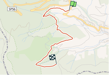

7.2 km | 9.5 km-effort


Tous les sentiers balisés d’Europe GUIDE+


FREE GPS app for hiking
 SityTrail
IGN / Geographical institutes
SityTrail World
The world is yours!
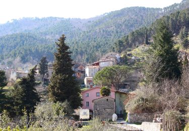
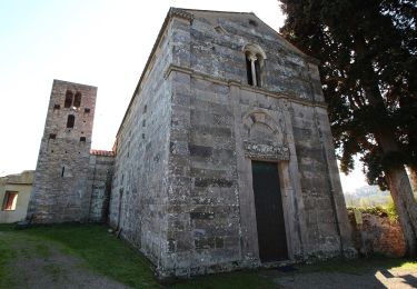
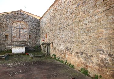
Trail On foot of 3.4 km to be discovered at Tuscany, Pisa, Buti. This trail is proposed by SityTrail - itinéraires balisés pédestres.
Trail created by Comune di Buti.
survey data: https://www.strava.com/activities/1077968050
Symbol: 148A on white red flag
On foot

On foot

On foot
On foot

On foot

On foot
On foot
On foot
On foot