30 km | 33 km-effort
PR de la Foret d'Echou
SityTrail - itinéraires balisés pédestres
Tous les sentiers balisés d’Europe GUIDE+
Length
14 km
Max alt
139 m
Uphill gradient
114 m
Km-Effort
15.5 km
Min alt
90 m
Downhill gradient
116 m
Boucle
Yes
Signpost
Creation date :
2022-02-15 03:20:52.697
Updated on :
2022-03-02 12:06:17.456
3h31
Difficulty : Easy
FREE GPS app for hiking
About
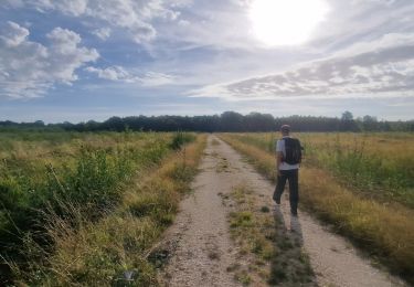
Trail On foot of 14 km to be discovered at Ile-de-France, Seine-et-Marne, Valence-en-Brie. This trail is proposed by SityTrail - itinéraires balisés pédestres.
Positioning
Country:
France
Region :
Ile-de-France
Department/Province :
Seine-et-Marne
Municipality :
Valence-en-Brie
Location:
Unknown
Start:(Dec)
Start:(UTM)
491873 ; 5365666 (31U) N.
Comments
Trails nearby
Boucle en forêt de Villefermoy
Walking
Very easy
Pamfou,
Ile-de-France,
Seine-et-Marne,
France
5h 54min
Yes
Machault - Vallée Javot
Walking
Easy
(1)
Machault,
Ile-de-France,
Seine-et-Marne,
France
13 km | 15.2 km-effort
3h 27min
Yes
Autour du Mont Vernou-La Celle
On foot
Easy
Vernou-la-Celle-sur-Seine,
Ile-de-France,
Seine-et-Marne,
France
5.8 km | 6.6 km-effort
1h 30min
No
championnat
Walking
Medium
Échouboulains,
Ile-de-France,
Seine-et-Marne,
France
6.8 km | 7.5 km-effort
1h 35min
No
Alain champault
Walking
Difficult
Machault,
Ile-de-France,
Seine-et-Marne,
France
11.5 km | 13.2 km-effort
3h 37min
Yes
20230504MOTOFETE
Bicycle tourism
Very difficult
Machault,
Ile-de-France,
Seine-et-Marne,
France
103 km | 114 km-effort
2h 14min
Yes
Echouboulains
Walking
Difficult
Échouboulains,
Ile-de-France,
Seine-et-Marne,
France
14.7 km | 16.9 km-effort
3h 50min
Yes
pamfou
Walking
Very difficult
Pamfou,
Ile-de-France,
Seine-et-Marne,
France
24 km | 28 km-effort
6h 40min
Yes
Des-vignes-aux-vergers-en-vallee-javot
sport
Very easy
Machault,
Ile-de-France,
Seine-et-Marne,
France
12.8 km | 15.1 km-effort
Unknown
Yes