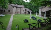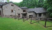

IT-269
SityTrail - itinéraires balisés pédestres
Tous les sentiers balisés d’Europe GUIDE+

Length
6.8 km

Max alt
1051 m

Uphill gradient
41 m

Km-Effort
9.4 km

Min alt
405 m

Downhill gradient
673 m
Boucle
No
Signpost
Creation date :
2022-02-15 03:14:58.291
Updated on :
2022-03-01 00:00:13.464
2h08
Difficulty : Easy

FREE GPS app for hiking
About
Trail On foot of 6.8 km to be discovered at Emilia-Romagna, Forlì-Cesena, Santa Sofia. This trail is proposed by SityTrail - itinéraires balisés pédestres.
Description
Trail created by CAI Ravenna.
Symbol: 269 on white red flag
Website: http://www.cairavenna.it/
Positioning
Country:
Italy
Region :
Emilia-Romagna
Department/Province :
Forlì-Cesena
Municipality :
Santa Sofia
Location:
Unknown
Start:(Dec)
Start:(UTM)
724699 ; 4868257 (32T) N.
Comments
Trails nearby
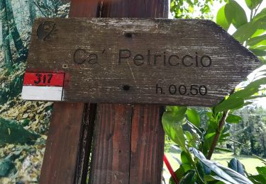
Il Monte Tiravento


On foot
Medium
Premilcuore,
Emilia-Romagna,
Forlì-Cesena,
Italy

15.6 km | 27 km-effort
6h 6min
Yes

Per vedere la valle del Giardino


On foot
Easy
Santa Sofia,
Emilia-Romagna,
Forlì-Cesena,
Italy

11.8 km | 19.7 km-effort
4h 28min
No
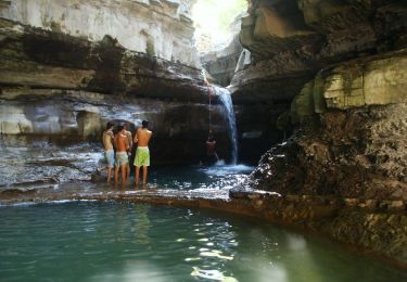
I Monti Gemelli


On foot
Medium
Premilcuore,
Emilia-Romagna,
Forlì-Cesena,
Italy

16.9 km | 30 km-effort
6h 42min
Yes
Solitari altopiani nella valle del Bidente


On foot
Very difficult
Santa Sofia,
Emilia-Romagna,
Forlì-Cesena,
Italy

44 km | 74 km-effort
16h 46min
Yes

IT-317


On foot
Easy
Premilcuore,
Emilia-Romagna,
Forlì-Cesena,
Italy

3.4 km | 4.9 km-effort
1h 6min
No
IT-R6


On foot
Easy
Premilcuore,
Emilia-Romagna,
Forlì-Cesena,
Italy

3.6 km | 8.5 km-effort
1h 56min
No
Un panoramico doppio anello sul Bidente delle Celle


On foot
Medium
Santa Sofia,
Emilia-Romagna,
Forlì-Cesena,
Italy

17.9 km | 28 km-effort
6h 18min
Yes

Da Corniolo un anello per Valpisella e Passo Braccina


On foot
Easy
Santa Sofia,
Emilia-Romagna,
Forlì-Cesena,
Italy

10.4 km | 17.4 km-effort
3h 57min
Yes
Il selvaggio Poggio Montironi


On foot
Easy
Santa Sofia,
Emilia-Romagna,
Forlì-Cesena,
Italy

11.2 km | 19.5 km-effort
4h 25min
Yes


 SityTrail


