


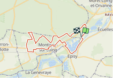

16.5 km | 20 km-effort

Tous les sentiers balisés d’Europe GUIDE+


FREE GPS app for hiking
 SityTrail
IGN / Geographical institutes
SityTrail World
The world is yours!
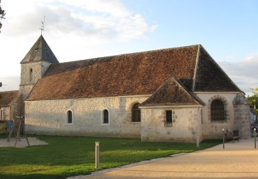
Trail On foot of 17.5 km to be discovered at Ile-de-France, Seine-et-Marne, Montigny-sur-Loing. This trail is proposed by SityTrail - itinéraires balisés pédestres.
Trail created by Moret Seine & Loing.


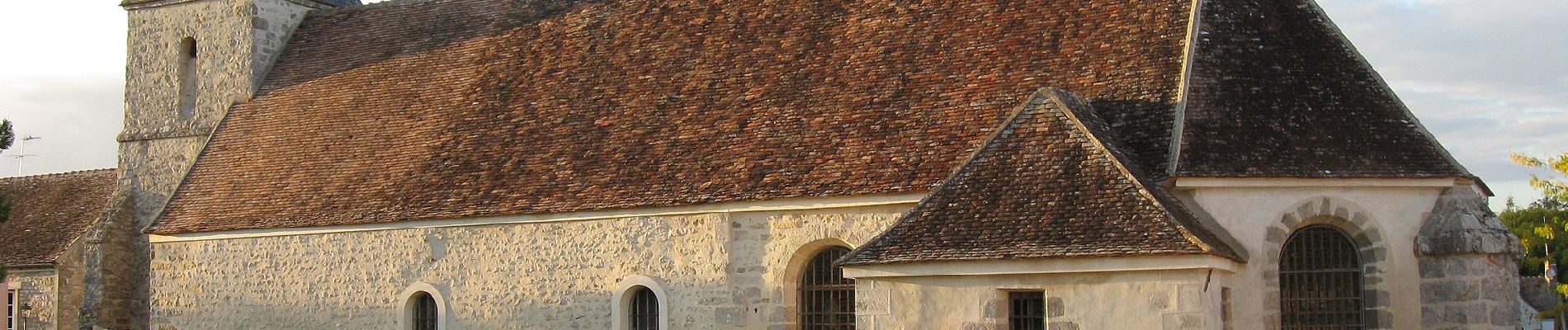
Walking

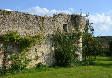
Walking

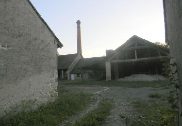
Walking

On foot

On foot

On foot
On foot
On foot
On foot