


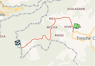

8.7 km | 16.6 km-effort

Tous les sentiers balisés d’Europe GUIDE+


FREE GPS app for hiking
 SityTrail
IGN / Geographical institutes
SityTrail World
The world is yours!
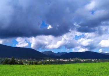
Trail On foot of 4.7 km to be discovered at Veneto, Vicenza, Roana. This trail is proposed by SityTrail - itinéraires balisés pédestres.
Symbol: 804 on white red flag
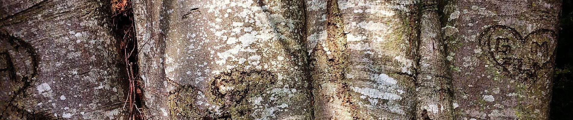
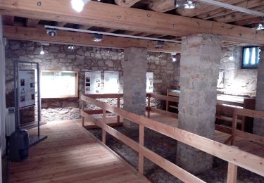
 - Contrada Ostarelli - Contrada Dosso - Contrada Mosca - Forte Corbin - Photo 1")

On foot
On foot
On foot