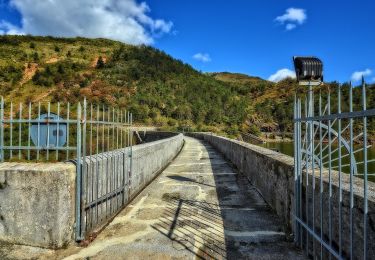
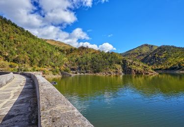
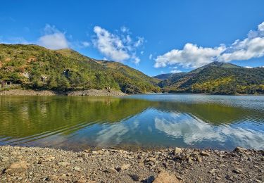
10.4 km | 16.9 km-effort
Sentiero Lago Bruno - Monte Tobbio
SityTrail - itinéraires balisés pédestres
Tous les sentiers balisés d’Europe GUIDE+
Length
8 km
Max alt
1079 m
Uphill gradient
548 m
Km-Effort
13.9 km
Min alt
599 m
Downhill gradient
124 m
Boucle
No
Signpost
Creation date :
2022-02-15 00:27:56.176
Updated on :
2022-02-28 19:09:13.668
3h08
Difficulty : Easy
FREE GPS app for hiking
About
Trail On foot of 8 km to be discovered at Piemont, Alessandria, Bosio. This trail is proposed by SityTrail - itinéraires balisés pédestres.
Positioning
Country:
Italy
Region :
Piemont
Department/Province :
Alessandria
Municipality :
Bosio
Location:
Unknown
Start:(Dec)
Start:(UTM)
485816 ; 4933448 (32T) N.
Comments
Trails nearby
Isoverde - Monte delle Figne - Casa Carrosina
On foot
Easy
Voltaggio,
Piemont,
Alessandria,
Italy
3h 50min
No
Colla di Praglia - Passo della Bocchetta
On foot
Easy
Ceranesi,
Liguria,
Genoa,
Italy
12.4 km | 19.1 km-effort
4h 19min
No
Busalla - Passo della Bocchetta - M. Leco
On foot
Easy
Campomorone,
Liguria,
Genoa,
Italy
10.1 km | 13.6 km-effort
3h 5min
No
Isoverde (Acquedotto Galliera) - Passo Prato Leone
On foot
Easy
Campomorone,
Liguria,
Genoa,
Italy
4.2 km | 10 km-effort
2h 15min
No
Sentiero naturalistico dei Laghi del Gorzente
On foot
Easy
Campomorone,
Liguria,
Genoa,
Italy
3.7 km | 5.2 km-effort
1h 10min
No
Passo Prato Leone - Laghi del Gorzente
On foot
Easy
Campomorone,
Liguria,
Genoa,
Italy
4.2 km | 5.2 km-effort
1h 11min
No
Sentiero Ponte Nespolo - Lago Bruno
On foot
Easy
Bosio,
Piemont,
Alessandria,
Italy
5.1 km | 6.9 km-effort
1h 33min
No
Cascina Foi - Lago Bruno
On foot
Easy
Bosio,
Piemont,
Alessandria,
Italy
6.1 km | 7.8 km-effort
1h 46min
No