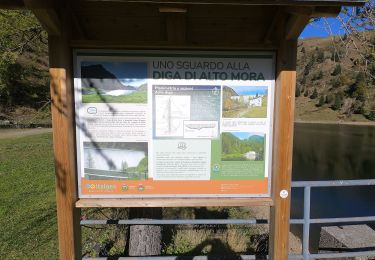
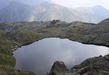
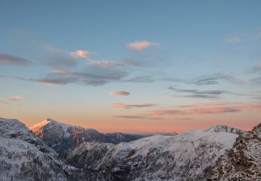
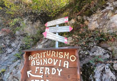
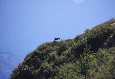
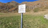
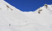
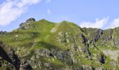
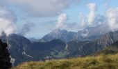
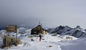
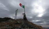
Trail On foot Ornica - Rifugio Benigni - Ca' San Marco - Photo

Rifugio Benigni - Ca' San Marco

Tous les sentiers balisés d’Europe GUIDE+

© OpenStreetMap contributors
Length
Length
8.7 km
Max alt
Max alt
2202 m
Uphill gradient
Uphill gradient
331 m
Km-Effort
Km-Effort  
14.4 km
Min alt
Min alt
1743 m
Downhill gradient
Downhill gradient
700 m
Boucle
Boucle
No
Signpost
Signpost
Creation date :
2022-02-15 00:23:36.708
Updated on :
2022-02-28 18:57:06.891

(0 Reviews)

On foot
On foot
3h16
Difficulty : Easy

Scan this QR Code to open this trail in the SityTrail application

FREE GPS app for hiking

Logo SityTrail SityTrail
IGN / Geographical institutes

Download SityTrail from the App Store Download SityTrail from Google Play

Logo SityTrail SityTrail World
The world is yours!

Download SityTrail from the App Store Download SityTrail from Google Play Download SityTrail on Huawei AppGallery

About

Trail On foot of 8.7 km to be discovered at Lombardy, Bergamo, Ornica. This trail is proposed by SityTrail - itinéraires balisés pédestres.

Description

Dal rifugio Benigni (2222 m) si scende alla sottostante conca erbosa ed al ripido canale roccioso che si percorre con attenzione, soprattutto in caso di clima umido o dopo temporali o nevicate improvvise. Giunti alla base si prosegue a mezzacosta, arrivando rapidamente al passo di Salmurano (2017 m) da dove è ben visibile il lago artificiale di Pescegallo. Si continua sul

Website: http://geoportale.caibergamo.it/it/sentiero/101_5

Elevation profile

Photos

Positioning

Country:
Italy
Region :
Lombardy
Department/Province :
Bergamo
Municipality :
Ornica
Location:
Unknown
Start:(UTM)
543407 ; 5096494 (32T) N.

Trails nearby

Trail On foot Ornica - Sentiero delle Orobie Occidentali - Tappa 3 - Photo
On foot
GUIDE+

On foot

Easy
Ornica, Lombardy, Bergamo, Italy
9.4 km | 15.2 km-effort
3h 27min
No
Trail On foot Cusio - IT-108 - Photo
On foot
GUIDE+

On foot

Easy
Cusio, Lombardy, Bergamo, Italy
4.1 km | 11 km-effort
2h 29min
No
Trail On foot Ornica - (SI D16S) Rifugio Cesare Benigni - Rifugio Balicco - Photo
On foot
GUIDE+

On foot

Medium
Ornica, Lombardy, Bergamo, Italy
14 km | 24 km-effort
5h 20min
No
Trail On foot Introbio - Sentiero 48 - Photo
On foot
GUIDE+

On foot

Easy
Introbio, Lombardy, Lecco, Italy
3.9 km | 6.3 km-effort
1h 25min
No
Trail On foot Valtorta - IT-106 - Photo
On foot
GUIDE+

On foot

Easy
Valtorta, Lombardy, Bergamo, Italy
6.5 km | 11.5 km-effort
2h 37min
No
Trail On foot Valtorta - Sentiero 104: Valtorta (Costa) - Rifugio Grassi - Photo
On foot
GUIDE+

On foot

Easy
Valtorta, Lombardy, Bergamo, Italy
6.4 km | 15.7 km-effort
3h 34min
No


Close
My subscriptions