


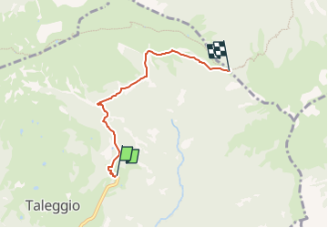

8.7 km | 14 km-effort

Tous les sentiers balisés d’Europe GUIDE+


FREE GPS app for hiking
 SityTrail
IGN / Geographical institutes
SityTrail World
The world is yours!
Trail On foot of 4 km to be discovered at Lombardy, Bergamo, Taleggio. This trail is proposed by SityTrail - itinéraires balisés pédestres.
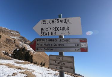
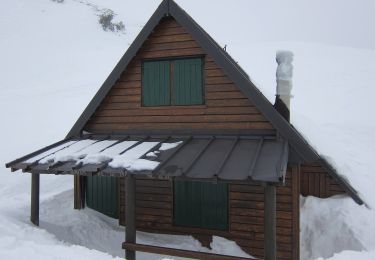
Da Pizzino si sale con la strada fino alla località Capofoppa di Pizzino (1331 m) dove parte il sentiero (sulla sinistra la tabella segnavia del sentiero 153 e del sentiero 120 che sale al rifugio Gherardi). Si prosegue nel bosco fino al vallone che scende dalla baita Regadur e, di seguito, proseguendo a mezzacosta si giunge alla baita Baciamorti (1453 m).
Website: http://geoportale.caibergamo.it/sentiero/153


On foot
On foot
On foot
On foot
On foot
