


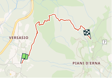

6.2 km | 12.7 km-effort

Tous les sentiers balisés d’Europe GUIDE+


FREE GPS app for hiking
 SityTrail
IGN / Geographical institutes
SityTrail World
The world is yours!
Trail On foot of 3.1 km to be discovered at Lombardy, Lecco, Lecco. This trail is proposed by SityTrail - itinéraires balisés pédestres.
Trail created by S.E.L..
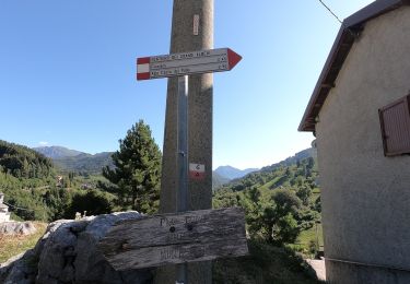
Symbol: red-white-yellow vertical bars with the black text "18"; sometimes a red square with black text "18"
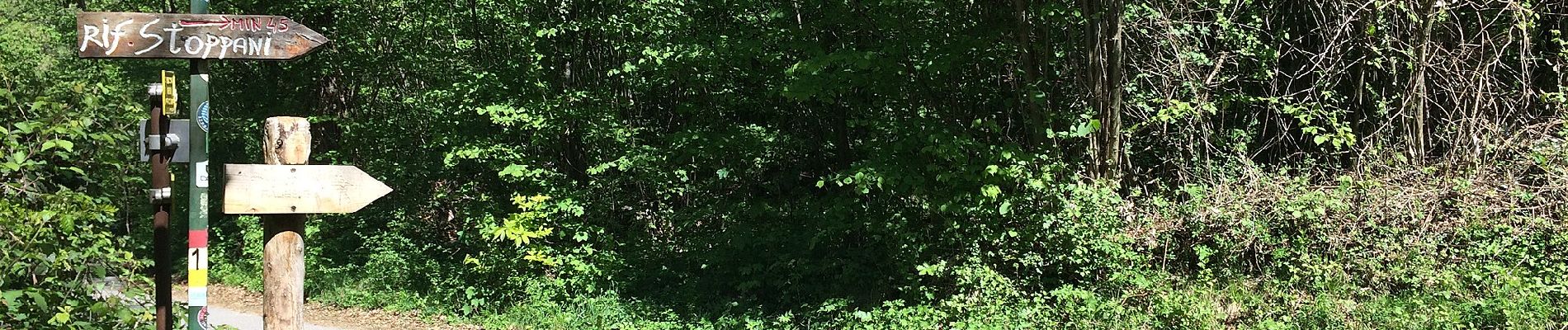
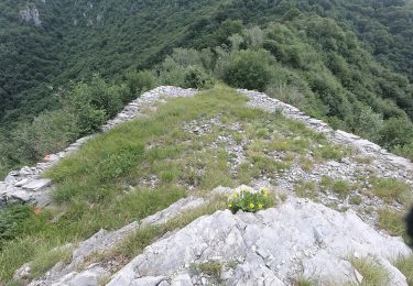
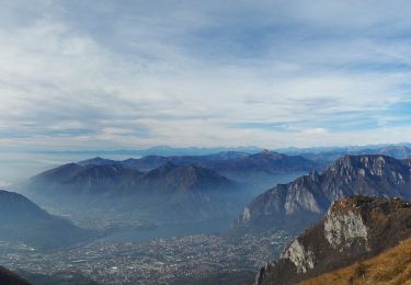
: Versasio - Piani d'Erna - Photo 1")
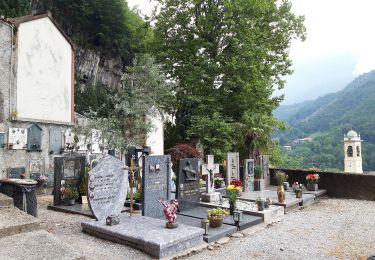
: Versasio - Piani d'Erna - Photo 2")
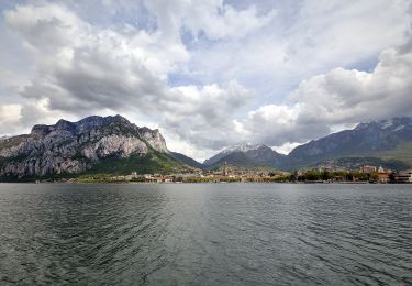
: Versasio - Piani d'Erna - Photo 3")
: Versasio - Piani d'Erna - Photo 4")
: Versasio - Piani d'Erna - Photo 5")
: Versasio - Piani d'Erna - Photo 6")
: Versasio - Piani d'Erna - Photo 7")
: Versasio - Piani d'Erna - Photo 8")
: Versasio - Piani d'Erna - Photo 9")
: Versasio - Piani d'Erna - Photo 10")
On foot
On foot
On foot
On foot
On foot


On foot