15.6 km | 29 km-effort

Tous les sentiers balisés d’Europe GUIDE+


FREE GPS app for hiking
 SityTrail
IGN / Geographical institutes
SityTrail World
The world is yours!
Trail On foot of 6.4 km to be discovered at Lombardy, Bergamo, Valtorta. This trail is proposed by SityTrail - itinéraires balisés pédestres.
Dalla frazione Costa, sopra Valtorta (1113 m), si sale verso la Valle Grobbia lungo il lato destro (sinistro idrografico). Dopo circa 10 minuti si attraversa la valle e si sale con tornanti sull’altro versante. A quota 1336 m si arriva allo spartiacque con la valle del Borae che si sale dapprima nel bosco poi raggiungendo i prati nei pressi della baita Lavez (1508 m), della
Website: http://geoportale.caibergamo.it/sentiero/104
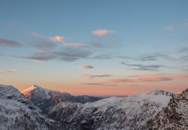
 - Rifugio Grassi - Photo 1")
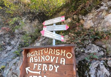
 - Rifugio Grassi - Photo 2")
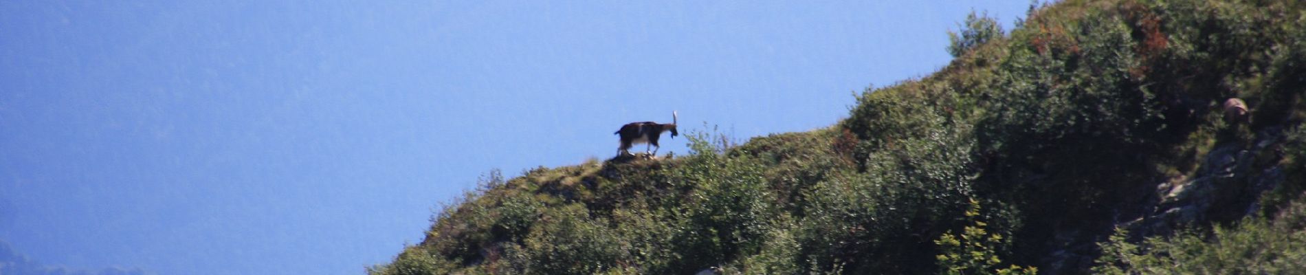
 - Rifugio Grassi - Photo 3")
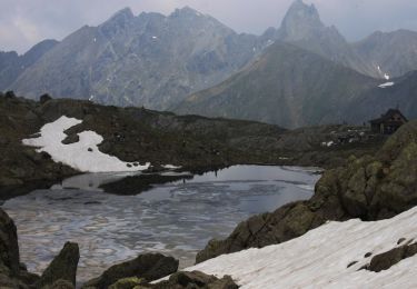
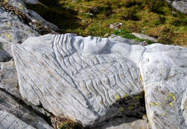
 - Rifugio Grassi - Photo 4")
 - Rifugio Grassi - Photo 5")
 - Rifugio Grassi - Photo 6")
On foot
On foot
On foot
On foot
On foot
On foot