


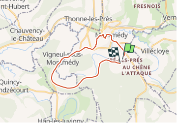


5.8 km | 7.8 km-effort

Tous les sentiers balisés d’Europe GUIDE+


FREE GPS app for hiking
 SityTrail
IGN / Geographical institutes
SityTrail World
The world is yours!
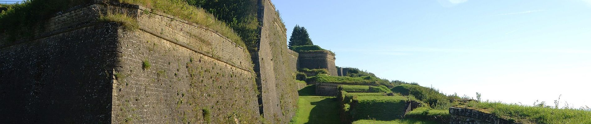
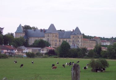
Trail On foot of 10.8 km to be discovered at Grand Est, Meuse, Montmédy. This trail is proposed by SityTrail - itinéraires balisés pédestres.
Trail created by Office de tourisme transfrontalier du Pays de Montmédy, France.


On foot
On foot

Cycle

Walking

Walking

Electric bike

Walking
Walking