![](/images/other/stat-length.png)
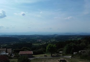
![Trail On foot Chambon-sur-Dolore - Du pas de Gargantua aux 3 gouttes de sang - Photo](https://media.geolcdn.com/t/1900/400/b327935d-e030-4733-947b-09de498f83c5.jpeg&format=pjpeg&maxdim=2)
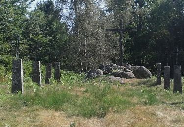
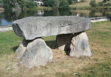
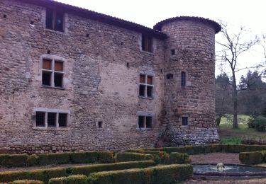
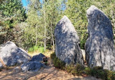
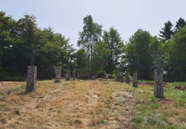
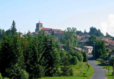
Du pas de Gargantua aux 3 gouttes de sang
SityTrail - itinéraires balisés pédestres
Tous les sentiers balisés d’Europe GUIDE+
![Length](/images/other/stat-length.png)
Length
8.5 km
![Max alt](https://static1.geolcdn.com/siteimages/upload/files/1508320355ic_sort_altitude_max_24dp.png)
Max alt
1091 m
![Uphill gradient](https://static1.geolcdn.com/siteimages/upload/files/1508320355ic_sort_den_pos_24dp.png)
Uphill gradient
236 m
![Km-Effort](/images/other/stat-length.png)
Km-Effort
11.7 km
![Min alt](https://static1.geolcdn.com/siteimages/upload/files/1508320355ic_sort_altitude_min_24dp.png)
Min alt
975 m
![Downhill gradient](https://static1.geolcdn.com/siteimages/upload/files/1508320355ic_sort_den_neg_24dp.png)
Downhill gradient
236 m
![Boucle](https://static1.geolcdn.com/siteimages/upload/files/16400158638029165_repeat_loop_refresh_sync_direction_icon.png)
Boucle
Yes
Signpost
Creation date :
2022-02-14 22:41:35.842
Updated on :
2022-03-02 09:02:23.826
![On foot](https://static1.geolcdn.com/sitytour/trail-icons/100.png)
2h39
Difficulty : Easy
![Scan this QR Code to open this trail in the SityTrail application](https://capi.geolives.com/qq0zvz2zws4bq2lad0pu/sitytour/trails/3112131/qr.png?size=200)
FREE GPS app for hiking
About
Trail On foot of 8.5 km to be discovered at Auvergne-Rhône-Alpes, Puy-de-Dôme, Chambon-sur-Dolore. This trail is proposed by SityTrail - itinéraires balisés pédestres.
Description
Trail created by CD63.
Positioning
Country:
France
Region :
Auvergne-Rhône-Alpes
Department/Province :
Puy-de-Dôme
Municipality :
Chambon-sur-Dolore
Location:
Unknown
Start:(Dec)
Start:(UTM)
549424 ; 5039510 (31T) N.
Comments
Trails nearby
![Trail On foot Fournols - Les Deux-Frères - Photo](https://media.geolcdn.com/t/375/260/d5784189-973d-43a7-a97f-cca4aab8ee4e.jpeg&format=jpg&maxdim=2)
![On foot On foot](https://static1.geolcdn.com/sitytour/trail-icons/100.png)
Les Deux-Frères
On foot
Easy
Fournols,
Auvergne-Rhône-Alpes,
Puy-de-Dôme,
France
![](/images/other/stat-length.png)
12.2 km | 16.8 km-effort
3h 48min
![](https://static1.geolcdn.com/siteimages/upload/files/16400158638029165_repeat_loop_refresh_sync_direction_icon.png)
Yes
![Trail On foot Saint-Bonnet-le-Chastel - Frideroche - Photo](https://media.geolcdn.com/t/375/260/b327935d-e030-4733-947b-09de498f83c5.jpeg&format=jpg&maxdim=2)
![On foot On foot](https://static1.geolcdn.com/sitytour/trail-icons/100.png)
Frideroche
On foot
Medium
Saint-Bonnet-le-Chastel,
Auvergne-Rhône-Alpes,
Puy-de-Dôme,
France
![](/images/other/stat-length.png)
16.5 km | 23 km-effort
5h 17min
![](https://static1.geolcdn.com/siteimages/upload/files/16400158638029165_repeat_loop_refresh_sync_direction_icon.png)
Yes
![Trail On foot Fournols - Fournols - Puy du Sapt - Photo](https://media.geolcdn.com/t/375/260/bb2da9db-eba2-4b2a-a77a-8a634280fa0e.jpeg&format=jpg&maxdim=2)
![On foot On foot](https://static1.geolcdn.com/sitytour/trail-icons/100.png)
Fournols - Puy du Sapt
On foot
Easy
Fournols,
Auvergne-Rhône-Alpes,
Puy-de-Dôme,
France
![](/images/other/stat-length.png)
8.7 km | 11.1 km-effort
2h 31min
![](https://static1.geolcdn.com/siteimages/upload/files/16400158638029165_repeat_loop_refresh_sync_direction_icon.png)
Yes
![Trail On foot Saint-Ferréol-des-Côtes - Le Ruisseau des Escures - Photo](https://media.geolcdn.com/t/375/260/87b71b99-5b85-450a-a4a0-adf99feb76c1.jpeg&format=jpg&maxdim=2)
![On foot On foot](https://static1.geolcdn.com/sitytour/trail-icons/100.png)
Le Ruisseau des Escures
On foot
Medium
Saint-Ferréol-des-Côtes,
Auvergne-Rhône-Alpes,
Puy-de-Dôme,
France
![](/images/other/stat-length.png)
17.5 km | 25 km-effort
5h 46min
![](https://static1.geolcdn.com/siteimages/upload/files/16400158638029165_repeat_loop_refresh_sync_direction_icon.png)
No
![Trail Walking Fournols - AUVERGNE 2023 Fournols - Les 2 frères - Photo](https://media.geolcdn.com/t/375/260/06e0f766-0d43-413d-a3a9-581028882a97.jpg&format=jpg&maxdim=2)
![Walking Walking](https://static1.geolcdn.com/sitytour/trail-icons/101.png)
AUVERGNE 2023 Fournols - Les 2 frères
Walking
Medium
Fournols,
Auvergne-Rhône-Alpes,
Puy-de-Dôme,
France
![](/images/other/stat-length.png)
12.7 km | 17.1 km-effort
2h 59min
![](https://static1.geolcdn.com/siteimages/upload/files/16400158638029165_repeat_loop_refresh_sync_direction_icon.png)
Yes
![Trail Walking Chambon-sur-Dolore - AUVERGNE 2023 Chambon-Frideroche - Photo](https://media.geolcdn.com/t/375/260/a4b0d336-9190-4c1a-b453-a0896104ecdd.jpg&format=jpg&maxdim=2)
![Walking Walking](https://static1.geolcdn.com/sitytour/trail-icons/101.png)
AUVERGNE 2023 Chambon-Frideroche
Walking
Medium
Chambon-sur-Dolore,
Auvergne-Rhône-Alpes,
Puy-de-Dôme,
France
![](/images/other/stat-length.png)
16.9 km | 24 km-effort
4h 10min
![](https://static1.geolcdn.com/siteimages/upload/files/16400158638029165_repeat_loop_refresh_sync_direction_icon.png)
Yes
![Trail Walking Chambon-sur-Dolore - AUVERGNE 2023 Jour 1 - Chambon-sur-Dolore - Le Pas de Gargantua - Photo](https://media.geolcdn.com/t/375/260/23474e0c-b3bc-47f1-adca-dbe25b713afd.jpg&format=jpg&maxdim=2)
![Walking Walking](https://static1.geolcdn.com/sitytour/trail-icons/101.png)
AUVERGNE 2023 Jour 1 - Chambon-sur-Dolore - Le Pas de Gargantua
Walking
Easy
Chambon-sur-Dolore,
Auvergne-Rhône-Alpes,
Puy-de-Dôme,
France
![](/images/other/stat-length.png)
8.8 km | 11.8 km-effort
2h 1min
![](https://static1.geolcdn.com/siteimages/upload/files/16400158638029165_repeat_loop_refresh_sync_direction_icon.png)
Yes
![Trail Walking Fournols - Fournols_Deux_Freres - Photo](https://media.geolcdn.com/t/375/260/ebb51a00-8374-4354-9586-702104cd3afa.jpg&format=jpg&maxdim=2)
![Walking Walking](https://static1.geolcdn.com/sitytour/trail-icons/101.png)
Fournols_Deux_Freres
Walking
Medium
Fournols,
Auvergne-Rhône-Alpes,
Puy-de-Dôme,
France
![](/images/other/stat-length.png)
13.1 km | 17.6 km-effort
4h 0min
![](https://static1.geolcdn.com/siteimages/upload/files/16400158638029165_repeat_loop_refresh_sync_direction_icon.png)
Yes
![Trail On foot Saint-Bonnet-le-Chastel - Le Pacage des Bufs - Photo](https://media.geolcdn.com/t/375/260/b327935d-e030-4733-947b-09de498f83c5.jpeg&format=jpg&maxdim=2)
![On foot On foot](https://static1.geolcdn.com/sitytour/trail-icons/100.png)
Le Pacage des Bufs
On foot
Easy
Saint-Bonnet-le-Chastel,
Auvergne-Rhône-Alpes,
Puy-de-Dôme,
France
![](/images/other/stat-length.png)
7.5 km | 10 km-effort
2h 16min
![](https://static1.geolcdn.com/siteimages/upload/files/16400158638029165_repeat_loop_refresh_sync_direction_icon.png)
Yes