


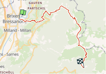

9.2 km | 14.2 km-effort


Tous les sentiers balisés d’Europe GUIDE+


FREE GPS app for hiking
 SityTrail
IGN / Geographical institutes
SityTrail World
The world is yours!
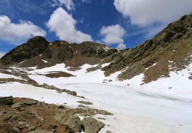
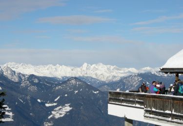
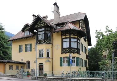
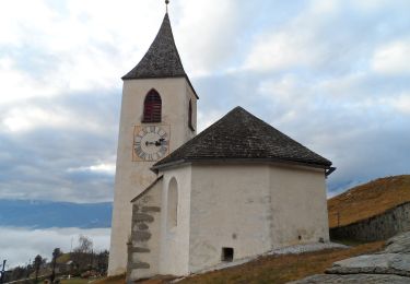
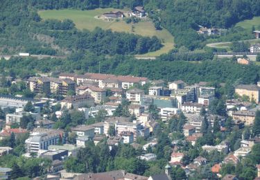
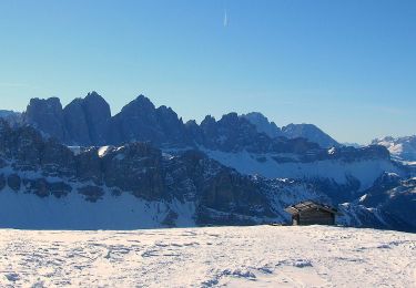
Trail On foot of 15.2 km to be discovered at Trentino-Alto Adige/Südtirol, South Tyrol, Brixen - Bressanone. This trail is proposed by SityTrail - itinéraires balisés pédestres.
Trail created by Alpenverein Südtirol (AVS).
Symbol: weißes Viereck mit der Nummer, rechts und links ein roter Balken


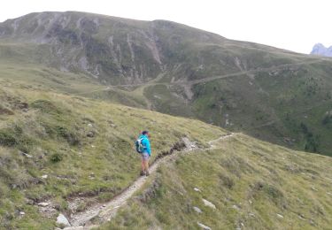
Walking
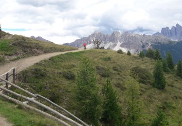
Walking
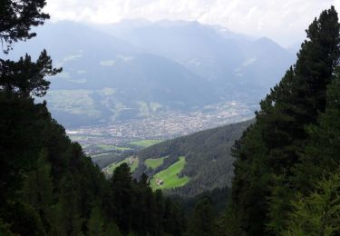
Walking
On foot
On foot
On foot
On foot
On foot
On foot