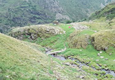
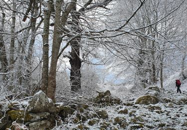
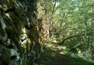
8.1 km | 11 km-effort
GR10-6
viaul
User GUIDE
Length
14.7 km
Max alt
1571 m
Uphill gradient
889 m
Km-Effort
27 km
Min alt
736 m
Downhill gradient
899 m
Boucle
No
Creation date :
2022-02-14 18:05:15.129
Updated on :
2022-02-14 18:05:40.086
6h03
Difficulty : Very difficult
FREE GPS app for hiking
About
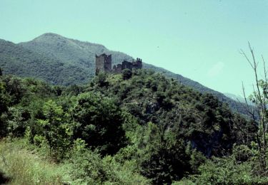
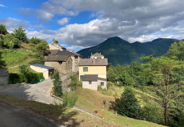
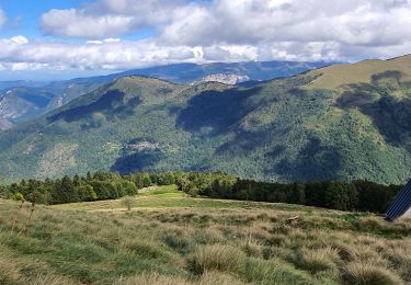
Trail Walking of 14.7 km to be discovered at Occitania, Ariège, Siguer. This trail is proposed by viaul.
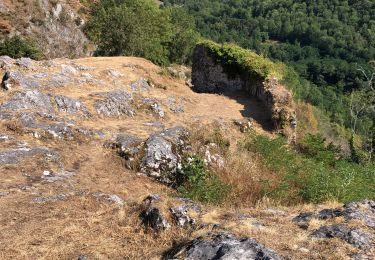
Positioning
Country:
France
Region :
Occitania
Department/Province :
Ariège
Municipality :
Siguer
Location:
Unknown
Start:(Dec)
Start:(UTM)
382638 ; 4735613 (31T) N.
Comments
Trails nearby
Lapège et Pladetis
On foot
Easy
Lapège,
Occitania,
Ariège,
France
10.1 km | 18.8 km-effort
4h 16min
No
Le Palet de Samsom
On foot
Easy
Val-de-Sos,
Occitania,
Ariège,
France
5.8 km | 10.3 km-effort
2h 20min
Yes
D'Illier à Lapège
On foot
Easy
Illier-et-Laramade,
Occitania,
Ariège,
France
3.5 km | 5.3 km-effort
1h 11min
No
2021-09-19_20h11m54_Pic-de-garbie-de-bresoul-depuis-lercoul-19x09x2021
Walking
Medium
Lercoul,
Occitania,
Ariège,
France
14.7 km | 28 km-effort
6h 21min
Yes
col côte 2239m
Walking
Difficult
Siguer,
Occitania,
Ariège,
France
19.1 km | 38 km-effort
7h 46min
Yes
rocher de MIGLOS
Walking
Medium
Miglos,
Occitania,
Ariège,
France
12.8 km | 24 km-effort
6h 50min
Yes
Le Vicdessos par Illié
Walking
Medium
Capoulet-et-Junac,
Occitania,
Ariège,
France
14.3 km | 24 km-effort
5h 52min
Yes
Peyregrand - Neych
Walking
Difficult
Siguer,
Occitania,
Ariège,
France
19.2 km | 38 km-effort
9h 44min
Yes