


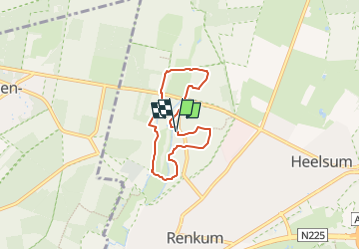

4.7 km | 5 km-effort


Tous les sentiers balisés d’Europe GUIDE+


FREE GPS app for hiking
 SityTrail
IGN / Geographical institutes
SityTrail World
The world is yours!
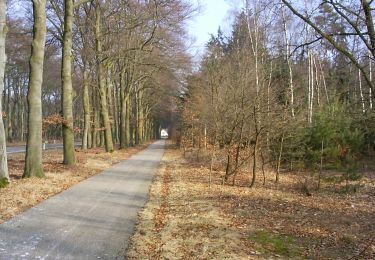
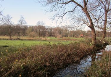
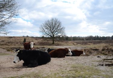
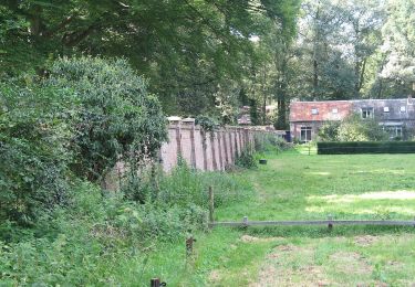
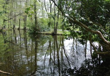
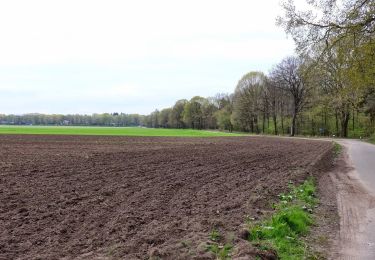
Trail On foot of 4.7 km to be discovered at Gelderland, Unknown, Renkum. This trail is proposed by SityTrail - itinéraires balisés pédestres.
Trail created by Stichting Renkums Beekdal.
Symbol: donkere pijlen op blauwe achtergrond
Website: https://www.renkumsbeekdal.nl/doen-beleven/wandelen-en-fietsen/


On foot

On foot
On foot
On foot

On foot
On foot
On foot

On foot