


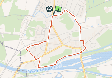

15.9 km | 17.3 km-effort

Tous les sentiers balisés d’Europe GUIDE+


FREE GPS app for hiking
 SityTrail
IGN / Geographical institutes
SityTrail World
The world is yours!
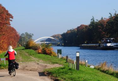
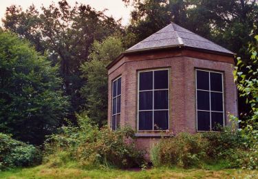
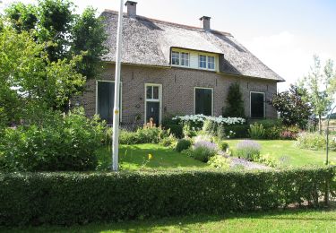
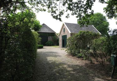
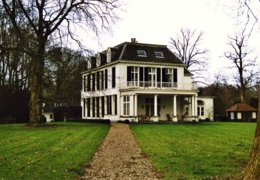
Trail On foot of 3.8 km to be discovered at Gelderland, Unknown, Lochem. This trail is proposed by SityTrail - itinéraires balisés pédestres.
Kom wandelen in het afwisselende decor van de Achterhoek! Ontdek de mooiste plekken met het handige wandelnetwerk en de prachtige wandelroutes.


On foot
On foot
On foot

On foot
On foot
On foot
On foot
On foot
On foot